 Ødegård: Inntjoreheia
Odegard combines a quiet, forested setting with the scale of the E18 in a way that reflects its position in coastal Agder. This part of southern Norway is shaped by exposed bedrock, conifer woodland and a road corridor crossing low, irregular terrain behind the Skagerrak coast. The E18 is one of Norway’s principal road connections through the south, linking the Agder area to the wider route between Oslo and Kristiansand. Odegard belongs to the cultural landscape of Sørlandet, the southern coastal region known for its maritime connections and towns with distinctive white wooden houses. Beyond the highway, woodland, rocky outcrops and small clearings remain typical of this part of Agder.
Generated by AI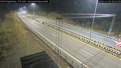

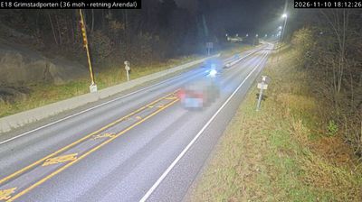



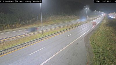
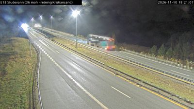
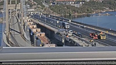
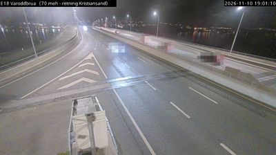

Odegard occupies a wooded inland position in Agder, southern Norway. It belongs to the gradual transition from the Skagerrak-facing coast of Sørlandet to the larger tracts of forest and upland terrain farther inland. Settlement in this part of the county is dispersed rather than urban, with roads and farms spread through a broad southern Norwegian landscape. Agder is Norway’s southernmost county, linking coastal communities with valleys and interior districts. Odegard is best understood as a quiet point within this wider regional geography. Browse additional webcams nearby to see how Odegard relates to Agder’s forests and Skagerrak coast.
2 webcams
Agder is best known within Norway for its long Skagerrak coastline. That maritime identity is balanced by a spacious interior of forests, lakes and upland valleys, where the Otra River runs through Setesdal before reaching the coast at Kristiansand. The county’s southern towns, including Kristiansand, Arendal and Grimstad, have long been shaped by seafaring and trade. Further inland, Setesdal maintains distinctive traditions: its traditional music, dance and singing were inscribed on UNESCO’s Representative List of the Intangible Cultural Heritage of Humanity in 2019. Explore additional webcams nearby to see how Agder’s valleys and coast connect across southern Norway.
93 webcams
Norway has served as a seafaring link between the North Atlantic and northern Europe since the Viking Age. Its long coastline is cut by fjords, while the Lofoten archipelago rises sharply from the Norwegian Sea and the mountains of Jotunheimen include Galdhøpiggen, Norway’s highest peak. Bergen’s Bryggen, the former Hanseatic wharf, recalls centuries of maritime trade. Farther north, Sámi culture remains an essential part of the country’s identity. Explore nearby webcam locations that provide complementary perspectives on Norway’s coast, fjords and mountain regions.
1.5K webcams