 Taree: Taree Regional Airport
The Manning River floodplain defines the setting of Taree Regional Airport — broad, level ground gives this airfield an open rural character on Taree’s fringe. Known by the code YTRE, it serves the Mid North Coast city of Taree, which developed beside the Manning River in the Manning Valley. The airport is home to the Manning River Aero Club, a local aviation organisation offering flight training and aircraft hire. Airfield buildings and runway infrastructure sit among low-lying farmland, giving the site a distinctly regional identity rather than the scale of a major urban terminal. Taree is an important service centre for the surrounding valley, while the Pacific Highway passes west of the city and the New South Wales coast lies farther east.
Generated by AI
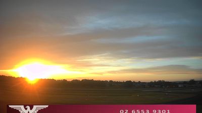


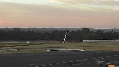


Built around a crossing of the Manning River, Taree grew into the principal service centre of the Manning Valley on New South Wales’s Mid North Coast. The town occupies the river’s broad lower reaches, where floodplains and dairy country lie between the Great Dividing Range and the Pacific coast. Taree stands on the traditional Country of the Biripi people, whose continuing connection to this part of the valley remains central to local identity. Riverside parks and the Manning Regional Art Gallery add cultural stops within town, while the surrounding district joins working farmland with beaches and national-park country. View additional webcams nearby to better understand how the Manning Valley relates to its river, coast and hinterland.
4 webcams
New South Wales is widely known within Australia for Sydney Harbour, home to the Sydney Opera House and the Sydney Harbour Bridge. The state extends from the Pacific coastline across the Great Dividing Range to wide inland plains within the Murray–Darling Basin. Sydney is Australia’s largest city and a major centre for finance, arts and international travel, while inland districts are strongly associated with farming and long distances between towns. The Blue Mountains, west of Sydney, form part of a UNESCO World Heritage area of eucalyptus forests, sandstone escarpments and deep valleys. View additional webcams nearby to better understand how New South Wales relates to its coast, ranges and inland country.
475 webcams
Australia’s terrain extends from tropical rainforests in the northeast to arid plains in the interior, producing dramatic climatic contrasts. The Great Dividing Range follows much of the eastern coast, while the Great Barrier Reef lies off Queensland in the Coral Sea and Uluru rises from the central desert. Aboriginal and Torres Strait Islander peoples maintain living cultures whose connections to Country long predate European settlement. In Sydney, the sail-like Opera House, completed in 1973, stands beside one of the world’s best-known harbours. Discover further points of interest through webcams located across Australia.
1.5K webcams