 Wollongong: Shellharbour Airport
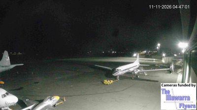
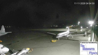
The landscape around Shellharbour Airport is a low coastal plain between Lake Illawarra and the Illawarra escarpment, which has shaped both the built environment and local life. The airport lies at Albion Park Rail, south of Wollongong, where flat grassland and transport corridors meet the escarpment foothills. Formerly known as Illawarra Regional Airport, it serves the wider Shellharbour–Illawarra area and is closely associated with the Historical Aircraft Restoration Society (HARS) Aviation Museum. HARS preserves and operates a collection of significant aircraft here, adding an aviation heritage dimension to this working regional airfield. Lake Illawarra, a large coastal lagoon, is a defining waterway of the district.
Generated by AI

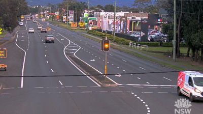
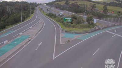

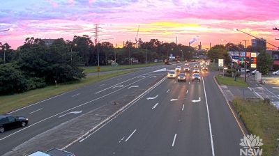

Among the cities of New South Wales, Wollongong stands out for the close meeting of the Illawarra Escarpment and the Tasman Sea. Set between the escarpment and the coast, the city has beaches, a working harbour and an urban strip extending south towards Port Kembla. Its steelworks have shaped the Illawarra’s industrial identity for generations. Wollongong is also home to Nan Tien Temple in Berkeley, regarded as the largest Buddhist temple in the Southern Hemisphere and a major Australian centre of Fo Guang Shan Buddhism. Discover other points of interest through webcams located across Wollongong and the Illawarra.
5 webcams
New South Wales is widely known within Australia for Sydney Harbour, home to the Sydney Opera House and the Sydney Harbour Bridge. The state extends from the Pacific coastline across the Great Dividing Range to wide inland plains within the Murray–Darling Basin. Sydney is Australia’s largest city and a major centre for finance, arts and international travel, while inland districts are strongly associated with farming and long distances between towns. The Blue Mountains, west of Sydney, form part of a UNESCO World Heritage area of eucalyptus forests, sandstone escarpments and deep valleys. View additional webcams nearby to better understand how New South Wales relates to its coast, ranges and inland country.
468 webcams
Australia’s terrain extends from tropical rainforests in the northeast to arid plains in the interior, producing dramatic climatic contrasts. The Great Dividing Range follows much of the eastern coast, while the Great Barrier Reef lies off Queensland in the Coral Sea and Uluru rises from the central desert. Aboriginal and Torres Strait Islander peoples maintain living cultures whose connections to Country long predate European settlement. In Sydney, the sail-like Opera House, completed in 1973, stands beside one of the world’s best-known harbours. Discover further points of interest through webcams located across Australia.
1.5K webcams