 Bay of Islands: Bay of Islands (Kerikeri) Airport
Tucked into Northland’s gently rolling rural country, Bay of Islands (Kerikeri) Airport is a place whose character is shaped by its role as an air link for the Bay of Islands. It lies near Kerikeri, while the Bay of Islands, a broad inlet scattered with islands, lines Northland’s eastern coast. Kerikeri’s cultural landmark is the Stone Store, completed in 1832 and recognised as New Zealand’s oldest stone building. The airport’s runways and low-slung operational buildings sit within the open farmland of the district, setting a practical counterpoint to the coast and its maritime settlements.
Generated by AI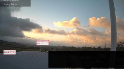


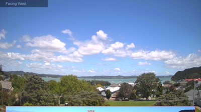

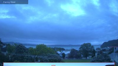

Tucked between the Bay of Islands and Northland’s rolling inland country, Bay of Islands-Whangaroa Community is a place whose character is shaped by sheltered Pacific waters and a long Māori and maritime presence. The Bay of Islands is a drowned-valley seascape of islands, coves and peninsulas on New Zealand’s northeast coast, while Whangaroa Harbour lies farther north. At Waitangi, in the wider Bay of Islands area, the Treaty of Waitangi was first signed in 1840, an event central to New Zealand’s history. Coastal settlements, farming country and boating routes give this part of Northland a dispersed rhythm rather than the feel of a single urban centre. View additional webcams nearby to better understand how the Bay of Islands and Whangaroa relate to Northland’s coast.
5 webcams
Northland stretches from the Tasman Sea to the Pacific Ocean, encompassing a long subtropical peninsula of sheltered harbours, rolling farmland and beaches. Near these coordinates, the broad Hokianga Harbour cuts deeply into the west coast; it has long been important to Māori communities and later maritime settlement. Farther north, the Waipoua Forest protects ancient kauri, including Tāne Mahuta, widely regarded as New Zealand’s largest living kauri tree. On the east coast, the Bay of Islands is associated with Waitangi, where the Treaty of Waitangi was first signed in 1840. Browse additional webcams from the surrounding area to extend your view of Northland.
6 webcams
New Zealand combines Pacific isolation with strong ties to the wider South Pacific in a way that reflects its position between the Tasman Sea and the open Pacific Ocean. The country’s two main islands are divided by Cook Strait, while the Southern Alps run along much of the South Island and include Aoraki / Mount Cook, its highest mountain. On the North Island, volcanic terrain shapes Tongariro National Park and the central plateau; long coastlines frame cities such as Auckland and Wellington. Māori culture is central to national life, and the Treaty of Waitangi, first signed in 1840, remains a foundational document in relations between Māori and the Crown. See how New Zealand fits within the wider South Pacific by browsing webcams nearby.
491 webcams