 Bairnsdale: Bairnsdale Airport
The Gippsland Plain defines the setting of Bairnsdale — level pastureland and a wide horizon give this East Gippsland centre an open, rural character. The Mitchell River runs through the town before reaching the Gippsland Lakes, a network of lagoons and waterways separated from Bass Strait by coastal dunes. Bairnsdale Airport lies on the town’s western side, among the low-lying farmland typical of the Mitchell River valley. Bairnsdale stands on Gunaikurnai Country and serves as a regional hub for East Gippsland, linked to Melbourne by the Princes Highway and the Gippsland rail line. The airport adds an aviation dimension to a town that is also a base for exploring eastern Victoria’s lakes, rivers and coast.
Generated by AI

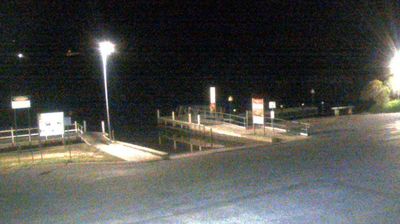
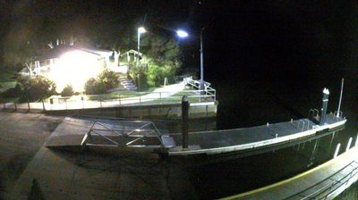
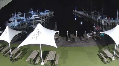
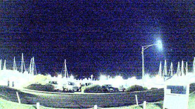
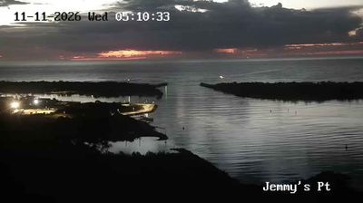

Bairnsdale is best known in Victoria for the extensive murals inside St Mary’s Catholic Church. Set on the Mitchell River in East Gippsland, the town is a regional service centre near the Gippsland Lakes, the broad coastal lagoon system that includes Lake King. The church’s painted interior was created during the 1930s by Italian-born artist Francesco Floreani and remains Bairnsdale’s most distinctive cultural landmark. Its commercial streets serve surrounding agricultural communities, while Mitchell River National Park lies upstream, protecting forest and river-gorge country. See how Bairnsdale fits within East Gippsland by browsing webcams nearby.
3 webcams
Among Australia’s regions, Victoria stands out for the remarkable variety packed between the Murray River and Bass Strait. The state combines fertile northern plains, the Central Victorian Goldfields, the forested Great Dividing Range and a long southern coast. Bendigo and Ballarat grew rapidly during the gold rushes of the 1850s, while Melbourne developed into Victoria’s cultural and economic centre. Along the southwest, the Great Ocean Road follows a dramatic stretch of coastline, contrasting with the farmland and river country inland. See how Victoria belongs within southeastern Australia by browsing webcams across the region.
291 webcams
Australia’s terrain extends from tropical rainforests in the northeast to arid plains in the interior, producing dramatic climatic contrasts. The Great Dividing Range follows much of the eastern coast, while the Great Barrier Reef lies off Queensland in the Coral Sea and Uluru rises from the central desert. Aboriginal and Torres Strait Islander peoples maintain living cultures whose connections to Country long predate European settlement. In Sydney, the sail-like Opera House, completed in 1973, stands beside one of the world’s best-known harbours. Discover further points of interest through webcams located across Australia.
1.6K webcams