 Debno
Dębno has served as a local market town in the historic Neumark region since the Middle Ages. It lies in north-western Poland on the Myśla River, amid low, partly wooded terrain close to the German border. The town developed within Brandenburg’s Neumark and remained connected with this borderland for centuries before becoming part of Poland after the Second World War. Its compact centre brings together everyday shops, civic services and residential streets, while the parish church of Sts Peter and Paul remains a focal point of town life. Dębno is also known in Polish road running for the annual Dębno Marathon, an established event that brings competitors to this small regional town. Its practical scale offers a clear impression of settlement life in Poland’s western borderlands.
Generated by AI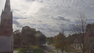

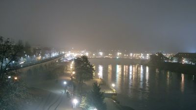

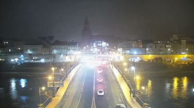

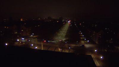
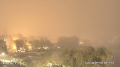
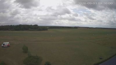

Dębno occupies a lowland setting on the Kosobudka River in the West Pomeranian Voivodeship, close to Poland’s border with Germany. The town belongs to the historic Neumark region, a territory whose past reflects centuries of shifting Polish, Brandenburg and Prussian influence. Dębno received town rights in the 13th century, and its centre retains the scale of a regional market town rather than that of a major urban hub. It is also a practical base for exploring the lakes, woodlands and small towns of western Pomerania. Continue through nearby webcams to explore different parts of Dębno and West Pomerania.
1 webcam
Among Poland’s voivodeships, West Pomeranian Voivodeship stands out for its Baltic coastline and lake-dotted interior. Its northern edge includes broad beaches, dunes and the islands around Świnoujście, while the Oder estuary and Szczecin Lagoon link the coast with inland waterways. Farther east and south, forests and lakes shape areas such as the Drawsko Lake District. Szczecin, the regional capital, retains the Pomeranian Dukes’ Castle, a reminder of the city’s long role as a Baltic port. Move on to other webcams in the region to compare coastal, lake-district and city settings around West Pomeranian Voivodeship.
47 webcams
Poland stretches from the Baltic Sea coast in the north to the Carpathian Mountains along its southern frontier, encompassing broad lowlands, lake districts and upland ranges. The Vistula, the country’s longest river, links Kraków and Warsaw before reaching the Baltic near Gdańsk, while the Masurian Lake District is defined by a dense network of lakes. Kraków’s historic centre, including Wawel Castle, recalls Poland’s former royal capital; Warsaw’s rebuilt Old Town speaks to the city’s recovery after the Second World War. The Białowieża Forest preserves one of Europe’s last primeval lowland forests and is home to European bison. Follow how Poland’s regions relate to one another by browsing webcams across the country.
718 webcams