 Pogung Kidul: Jalan Terban - Jalan C. Simanjuntak - Jalan Doctor Sardjito - Jalan Persatuan
Pogung Kidul combines busy urban movement with a residential edge in a way that reflects its position beside Yogyakarta’s university district. Jalan C. Simanjuntak, Jalan Dr Sardjito, Jalan Persatuan and Jalan Terban form part of the closely connected street network serving northern central Yogyakarta, where shops, services and housing stand alongside major traffic corridors. The neighbourhood lies near Universitas Gadjah Mada, a major public university. Yogyakarta extends across a plain south of Mount Merapi and remains the capital of the Special Region of Yogyakarta, where the Sultan also serves as governor. This is a working city quarter shaped by daily commuting and academic life.
Generated by AI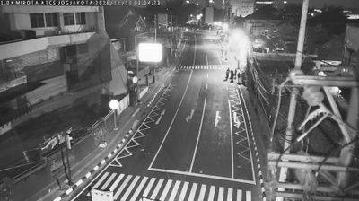
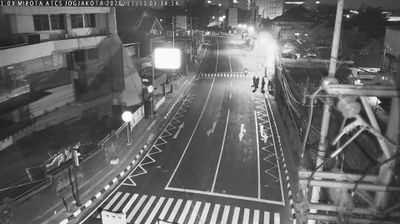
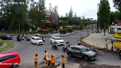


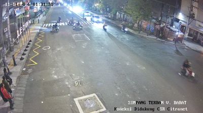
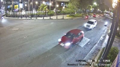
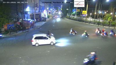


Few neighbourhoods in the Special Region of Yogyakarta have a history as closely tied to university life as Pogung Kidul. Set in Sleman Regency on the northern edge of the Yogyakarta urban area, it is a residential quarter shaped by student boarding houses, small eateries and the daily rhythm of nearby campuses. The district lies on the southern slopes of Mount Merapi, the active volcano that defines the wider geography of central Java, while Yogyakarta’s historic centre extends southward. Founded in 1949, nearby Gadjah Mada University is among Indonesia’s leading public universities and gives this area a youthful, outward-looking character. Pogung Kidul reveals an everyday side of Yogyakarta beyond its royal monuments. Explore nearby webcam locations that provide complementary perspectives on Pogung Kidul and the Yogyakarta urban area.
15 webcams
The Special Region of Yogyakarta extends from the southern slopes of Mount Merapi to the Indian Ocean coast, encompassing volcanic plains and limestone karst. Yogyakarta city is the region’s cultural centre, known for the Kraton, the royal palace of the Yogyakarta Sultanate, and for its long-standing traditions of batik, gamelan, and Javanese performing arts. South and east of the city, the Gunung Sewu karst creates a markedly drier terrain of caves, hills, and seasonal waterways, while the coastal districts meet the surf of the Indian Ocean. Browse other webcams across the Special Region of Yogyakarta to place this setting in a wider geographic context.
153 webcams
Indonesia has served as a maritime crossroads between the Indian and Pacific oceans since the early centuries of international trade. Its vast archipelago stretches across the equator, linking the volcanoes and rice-growing plains of Java with the rainforests of Borneo and the coral-fringed islands of eastern Indonesia. Java is home to Borobudur, a ninth-century Buddhist temple complex and UNESCO World Heritage Site, while Bali’s Hindu traditions shape daily ceremonies and temple life. Bahasa Indonesia provides a shared national language alongside hundreds of local languages. The Java Sea, Banda Sea and busy straits have long connected islands, ports and cuisines. Browse other webcams across Indonesia’s islands to place this setting in a wider geographic context.
599 webcams