 Machakos: Kyamutheke hill
Machakos has served as an administrative centre in southeastern Kenya since the late 19th century. Kyamutheke Hill rises in the hilly country around the county capital, above a broad settled plain edged by low ridges. This is Akamba country, homeland of the Kamba people, whose commercial and cultural life has long been linked by towns and market networks across eastern Kenya. Machakos was established in 1887 as an early British administrative post, before Nairobi took on its dominant role. The surrounding area combines scattered homesteads, cultivated ground and shrub-covered slopes, while the town remains the seat of Machakos County government. Kyamutheke Hill and the nearby uplands give this part of Kenya a distinctly elevated, open character.
Generated by AI
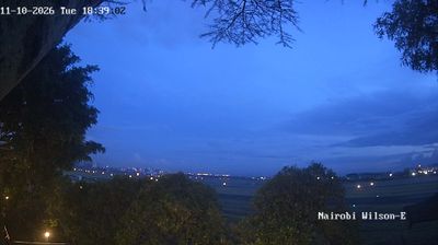

Machakos combines the purposeful rhythm of a county capital with the quieter contours of a semi-arid upland town in a way that reflects its position in Kenya’s eastern interior. Set among the Machakos Hills, it is the administrative centre of Machakos County and a commercial meeting point for surrounding rural communities. The town belongs to the wider Kamba region, where the Kamba people’s language, farming traditions and trade have long shaped daily life. Civic offices, markets and neighbourhoods form its urban core, while the hills remain close to town. Continue through nearby webcams to explore different parts of Machakos County.
1 webcam
Built around agricultural settlements and market links east of Nairobi, Machakos County developed into an important part of Kenya’s lower-eastern region. Its terrain shifts from the Athi River plains to the Yatta Plateau and the hills around Machakos town, creating a drier setting than the capital nearby. The county is closely associated with the Akamba people, whose language, music and woodcarving traditions remain central to local identity. Ol Doinyo Sabuk National Park, centred on a prominent hill near the county’s northwestern edge, adds a protected landscape to the wider area. Browse additional webcams from the surrounding area to extend your view of Machakos County.
1 webcam
The Great Rift Valley and the Indian Ocean coastline define much of Kenya — their contrasts support farming, fishing, trade and tourism. Nairobi is a major commercial centre in East Africa and home to Nairobi National Park, where wildlife moves close to the city. Maasai Mara National Reserve is known for the annual migration of wildebeest and zebra from Tanzania’s Serengeti. Near the equator rises Mount Kenya, the country’s highest mountain; its protected area is a UNESCO World Heritage site. Swahili culture is especially evident on the coast, including in Lamu Old Town, a UNESCO-listed settlement shaped by centuries of Indian Ocean trade. Find related webcams in the surrounding area to build a fuller picture of Kenya.
68 webcams