 Yogyakarta: De Witte Paal te Djocdja
Mount Merapi defines the setting of Tugu Yogyakarta — the volcano’s broad southern plain has allowed the city to spread outward from its royal core. Better known as Tugu Pal Putih, or the White Monument, this slender landmark stands at a major junction north of the Kraton Yogyakarta. It was erected in 1755 during the reign of Sultan Hamengkubuwono I, then rebuilt in a different form after the 1867 earthquake. Tugu forms part of Yogyakarta’s north–south philosophical axis, linking Merapi with the Kraton and the Indian Ocean. Dutch-era usage gave it the name De Witte Paal te Djocdja. Margo Utomo and Jalan Sudirman meet here in a busy central district shaped by shops, offices and city traffic.
Generated by AI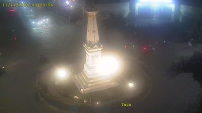
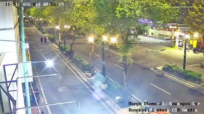
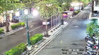


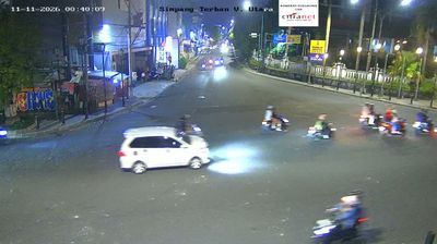
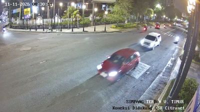
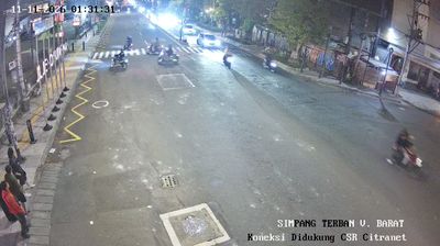


Yogyakarta straddles the Code River in south-central Java, its setting between Mount Merapi and the Indian Ocean shaping a city long tied to the Javanese court. The Kraton Yogyakarta remains the palace of the reigning Sultan, while the Special Region is Indonesia’s only province where the governorship is hereditary. Streets around Malioboro are a busy centre for batik, food and student life; the city is also a major base for reaching the UNESCO-listed Prambanan temple compounds. Find related webcams across the Special Region of Yogyakarta to build a fuller picture of Yogyakarta and its volcanic surroundings.
105 webcams
The Special Region of Yogyakarta extends from the southern slopes of Mount Merapi to the Indian Ocean coast, encompassing volcanic plains and limestone karst. Yogyakarta city is the region’s cultural centre, known for the Kraton, the royal palace of the Yogyakarta Sultanate, and for its long-standing traditions of batik, gamelan, and Javanese performing arts. South and east of the city, the Gunung Sewu karst creates a markedly drier terrain of caves, hills, and seasonal waterways, while the coastal districts meet the surf of the Indian Ocean. Browse other webcams across the Special Region of Yogyakarta to place this setting in a wider geographic context.
142 webcams
Indonesia has served as a maritime crossroads between the Indian and Pacific oceans since the early centuries of international trade. Its vast archipelago stretches across the equator, linking the volcanoes and rice-growing plains of Java with the rainforests of Borneo and the coral-fringed islands of eastern Indonesia. Java is home to Borobudur, a ninth-century Buddhist temple complex and UNESCO World Heritage Site, while Bali’s Hindu traditions shape daily ceremonies and temple life. Bahasa Indonesia provides a shared national language alongside hundreds of local languages. The Java Sea, Banda Sea and busy straits have long connected islands, ports and cuisines. Browse other webcams across Indonesia’s islands to place this setting in a wider geographic context.
587 webcams