 Batu: Jalan Sultan Agung
Batu combines an upland setting with an active tourism economy in a way that reflects its position among East Java’s volcanic highlands. Jalan Sultan Agung runs through a built-up part of the city, where landscaped public space and everyday traffic sit alongside businesses serving Batu’s visitors. Mount Panderman rises on the city’s southern side, one of the most familiar peaks in the local skyline. Batu is widely associated with apple cultivation, and apples remain a defining local product in orchards, markets and processed foods. The city is also known across Indonesia for its family-oriented theme parks and museums, which have made it a major leisure destination in the Malang area.
Generated by AI

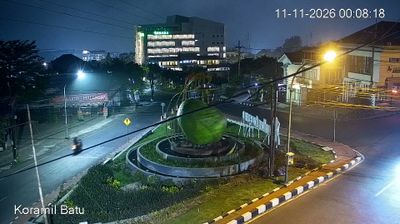
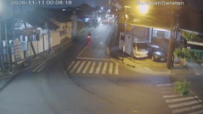
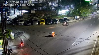

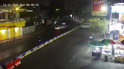
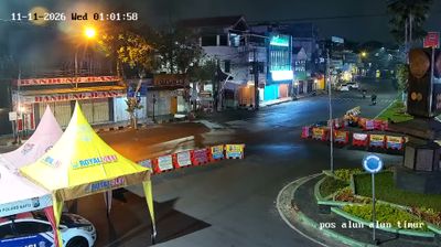
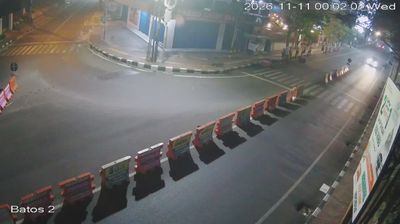
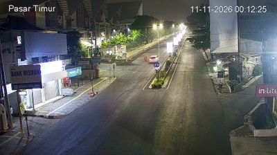

Among the cities of East Java, Batu stands out for its cool upland position on the slopes of Mount Panderman. The city lies in the upper basin of the Brantas River, where volcanic highlands create a markedly different climate from the lowland cities around Surabaya. Apple orchards are central to Batu’s identity, with local fruit sold fresh and processed into juices and other products. Batu is also a leading leisure destination in the Malang area, home to the Jatim Park attractions and Museum Angkut, a transport museum whose collections are arranged in themed settings. Browse other webcams across East Java to place Batu’s mountain setting in a wider geographic context.
14 webcams
East Java occupies the eastern section of Java in Indonesia. Its terrain extends from a chain of active volcanoes to lowland farming areas, with the Java Sea along the north coast and the Indian Ocean to the south. The Brantas River supports many of the province’s towns and agricultural districts. Mount Semeru, Java’s highest volcano, rises within Bromo Tengger Semeru National Park, while the broad caldera of Mount Bromo is one of Indonesia’s most recognised volcanic settings. Near Mojokerto, Trowulan preserves major archaeological remains linked to the former Majapahit capital. Discover other points of interest through webcams located across East Java.
28 webcams
Indonesia has served as a maritime crossroads between the Indian and Pacific oceans since the early centuries of international trade. Its vast archipelago stretches across the equator, linking the volcanoes and rice-growing plains of Java with the rainforests of Borneo and the coral-fringed islands of eastern Indonesia. Java is home to Borobudur, a ninth-century Buddhist temple complex and UNESCO World Heritage Site, while Bali’s Hindu traditions shape daily ceremonies and temple life. Bahasa Indonesia provides a shared national language alongside hundreds of local languages. The Java Sea, Banda Sea and busy straits have long connected islands, ports and cuisines. Browse other webcams across Indonesia’s islands to place this setting in a wider geographic context.
587 webcams