 Khu pho 1: Đường Thành Thái
The landscape around Đường Thành Thái in Ward 14 is a dense, level urban expanse, which has shaped both the built environment and local life. The street lies in District 10, where commercial premises, apartment blocks and broad junctions form part of Ho Chi Minh City’s intensely built-up inner area. The Saigon River runs northeast of this district and remains one of the waterways that has long structured the wider metropolis. Ho Chi Minh City was known as Saigon until 1976, a name still used widely in everyday references and in the city’s culinary and commercial identity. Around Thành Thái, motorbikes, cars, pavements and roadside businesses reflect the practical, street-based rhythm of a modern Vietnamese city.
Generated by AI


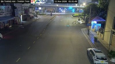


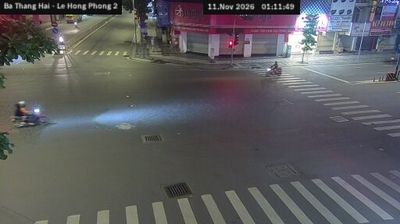

Ho Chi Minh City stretches from the Saigon River through central District 1 to the mangrove-lined coast of Can Gio, encompassing intensely urban neighbourhoods and tidal wetlands. Formerly known as Saigon, it is Vietnam’s largest city and a fast-moving centre of commerce, street food, and contemporary culture. French colonial-era landmarks remain part of the city centre, including the Central Post Office and the Notre-Dame Cathedral Basilica of Saigon. The Saigon River continues to shape the city’s waterfront districts, while Can Gio forms a markedly quieter southern edge. Find related webcams in the surrounding area to build a fuller picture of Ho Chi Minh City.
678 webcams
Vietnam has served as a frontier between Chinese and Southeast Asian cultural spheres since the first millennium. This long, narrow country extends from the Red River delta in the north to the Mekong delta in the south, while the Annamite Range forms much of its western spine. Ha Long Bay’s limestone islands contrast with broad rice-growing lowlands. In central Vietnam, Huế was the seat of the Nguyễn dynasty, and Hội An retains the character of a historic trading port shaped by Asian and European commerce. Pho, regional noodle dishes and a lively coffee culture are part of daily life. View additional webcams nearby to better understand how Vietnam relates to the South China Sea and mainland Southeast Asia.
705 webcams