 Kisaran: Tugu Pahlawan Kisaran - Jalan Cokro Aminoto - Jalan Imam Bonjol
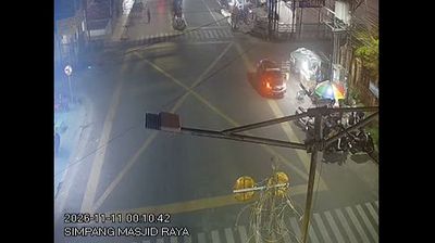
The lowland plain of eastern North Sumatra defines the setting of Kisaran — a regional town whose compact commercial streets serve the surrounding agricultural district. Jalan Cokro Aminoto and Jalan Imam Bonjol meet near Tugu Pahlawan Kisaran, a civic monument that gives this busy central junction a clear local reference point. Kisaran is the administrative centre of Asahan Regency, on Sumatra’s east side, and its urban life is organized around road traffic, storefronts and everyday services rather than a grand colonial core. The streetscape captures a working Sumatran town: motorcycles, small businesses and dense roadside development linking neighbourhoods to the wider regency. Its location places it within the broad lowland belt between the Barisan Mountains and the Malacca Strait.
Generated by AI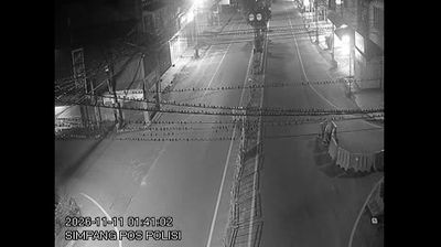

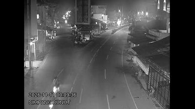

Few cities in North Sumatra have a history as closely tied to the plantation economy as Kisaran. The administrative seat of Asahan Regency lies in Sumatra’s low-lying eastern interior, where oil-palm and rubber estates remain a defining part of the surrounding countryside. The Silau River divides the urban area, adding a local waterway to a landscape shaped by agriculture and trade. Kisaran railway station stands on the rail route between Medan and Rantau Prapat, underlining the town’s role as a regional service centre. Continue with other webcams from the area to see how this part of North Sumatra connects across eastern Sumatra.
7 webcams
The Bukit Barisan highlands and Lake Toba define much of North Sumatra - cool volcanic uplands support farming and give the province a markedly different character from Indonesia’s lowland coasts. Lake Toba, one of the world’s largest volcanic lakes, surrounds Samosir Island, a focal point of Toba Batak culture and its distinctive steep-roofed traditional houses. To the north, the province reaches the Strait of Malacca, while Medan serves as its largest city and commercial centre. Coffee, palm oil and other agricultural products remain important to the regional economy. Browse other webcams across North Sumatra to place this setting in a wider geographic context.
7 webcams
Indonesia has served as a maritime crossroads between the Indian and Pacific oceans since the early centuries of international trade. Its vast archipelago stretches across the equator, linking the volcanoes and rice-growing plains of Java with the rainforests of Borneo and the coral-fringed islands of eastern Indonesia. Java is home to Borobudur, a ninth-century Buddhist temple complex and UNESCO World Heritage Site, while Bali’s Hindu traditions shape daily ceremonies and temple life. Bahasa Indonesia provides a shared national language alongside hundreds of local languages. The Java Sea, Banda Sea and busy straits have long connected islands, ports and cuisines. Browse other webcams across Indonesia’s islands to place this setting in a wider geographic context.
599 webcams