 Ripec: D3, 101,3 km, České Budějovice Direction
Among the places of the South Bohemian Region, Řípec stands out for its position beside the D3 motorway, a principal north–south road in Czechia. The municipality lies in gently rolling farmland near the Lužnice River, between Soběslav and Tábor. Divided carriageways run through fields, tree belts and woodland edges as the D3 follows the wider Prague–Austrian border corridor. Řípec belongs to the historic land of Bohemia, and its small-scale rural setting reflects the agricultural character of the Tábor area. It is a functional transport landscape rather than an urban centre, embedded in the settled countryside of southern Bohemia.
Generated by AI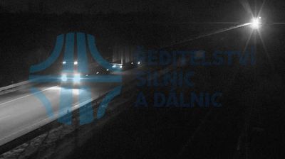
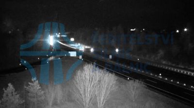

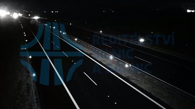


Řípec straddles the western edge of the Třeboň Basin in South Bohemia, a lowland setting shaped by watercourses, fishponds and farmland. The nearby Lužnice River belongs to a wider wetland-and-pond landscape that distinguishes this part of the country from Bohemia’s uplands. A small municipality in the Tábor District, Řípec provides a local perspective on rural South Bohemia between the historic towns of Tábor and Třeboň. The basin’s fishpond tradition, developed over centuries, remains a defining cultural imprint on the region and its carp-farming heritage. Find related webcams in the surrounding area to build a fuller picture of Řípec and South Bohemia.
1 webcam
South Bohemian Region occupies a broad southern stretch of Bohemia in Czechia, reaching from the Šumava Mountains near Austria to the lowlands around České Budějovice. The Vltava flows north through this region, while the Třeboň area is renowned for its centuries-old network of fishponds and carp farming. Český Krumlov, set in a bend of the Vltava, is a UNESCO World Heritage Site known for its historic centre and castle complex. The regional capital, České Budějovice, is also home to the Budweiser Budvar brewery. Browse additional webcams from the surrounding area to extend your view of South Bohemia.
105 webcams
The terrain of Czechia ranges from fertile lowlands in southern Moravia to mountain ridges along the northern frontier, giving this Central European country a distinctly varied geography. The Vltava runs through Prague before joining the Elbe, while the Krkonoše form part of the border with Poland and include Sněžka, Czechia’s highest mountain. Prague’s historic centre, with Prague Castle and Charles Bridge, reflects the city’s long role as a political and cultural centre. Beyond the capital, Bohemia is known for spa towns and brewing, and Moravia for wine-growing traditions. View additional webcams nearby to better understand how Czechia relates to its Central European surroundings.
1.4K webcams