 Plana nad Luznici: D3, 87,2 km, České Budějovice Direction
Built around the Lužnice River, Planá nad Lužnicí grew into a South Bohemian town on the route between Tábor and the wider České Budějovice region. Wooded riverbanks and rolling farmland define this section of the valley, while the D3 motorway carries long-distance traffic across the Lužnice on a substantial bridge. Planá belongs to a region shaped by farming, rivers and fishponds. The Lužnice also holds an established place in Czech outdoor culture, with navigable sections widely used for canoeing trips. Nearby Tábor, founded by the Hussites in 1420, adds an important chapter of Bohemian history to the area.
Generated by AI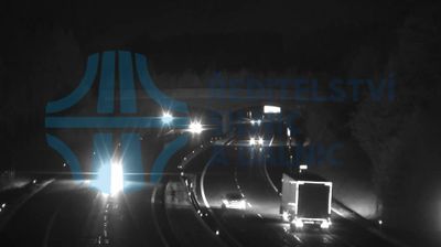


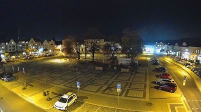
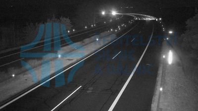


Built around a crossing of the Lužnice River, Planá nad Lužnicí grew into a small South Bohemian town. Its setting on the river links it to one of Czechia’s best-known paddling routes, which winds through the region’s lowland woods and historic towns before joining the Vltava. The Church of St. Wenceslas is a longstanding landmark in the centre, while the railway line between Prague and České Budějovice keeps Planá connected to larger cities. The town sits close to Tábor, adding an easy urban counterpoint to its quieter riverside character. Continue with other webcams from the area to see how this part of South Bohemia connects regionally.
1 webcam
South Bohemian Region occupies a broad southern stretch of Bohemia in Czechia, reaching from the Šumava Mountains near Austria to the lowlands around České Budějovice. The Vltava flows north through this region, while the Třeboň area is renowned for its centuries-old network of fishponds and carp farming. Český Krumlov, set in a bend of the Vltava, is a UNESCO World Heritage Site known for its historic centre and castle complex. The regional capital, České Budějovice, is also home to the Budweiser Budvar brewery. Browse additional webcams from the surrounding area to extend your view of South Bohemia.
105 webcams
The terrain of Czechia ranges from fertile lowlands in southern Moravia to mountain ridges along the northern frontier, giving this Central European country a distinctly varied geography. The Vltava runs through Prague before joining the Elbe, while the Krkonoše form part of the border with Poland and include Sněžka, Czechia’s highest mountain. Prague’s historic centre, with Prague Castle and Charles Bridge, reflects the city’s long role as a political and cultural centre. Beyond the capital, Bohemia is known for spa towns and brewing, and Moravia for wine-growing traditions. View additional webcams nearby to better understand how Czechia relates to its Central European surroundings.
1.4K webcams