 Seldovia
 occupies a forested shoreline on the southern side of Kachemak Bay, at the end of Alaska’s Kenai Peninsula. Its sheltered harbour, with floating docks and small boats, remains central to a community reached by air and water rather than by road. Across the bay and along the surrounding coast, densely wooded slopes meet the tidal waters of the Gulf of Alaska. Seldovia is one of the peninsula’s long-established coastal settlements, with Alutiiq/Sugpiaq heritage and a lasting Russian Orthodox presence represented by St. Nicholas Church. The compact waterfront and boardwalk give the town a distinctly maritime identity.
Generated by AI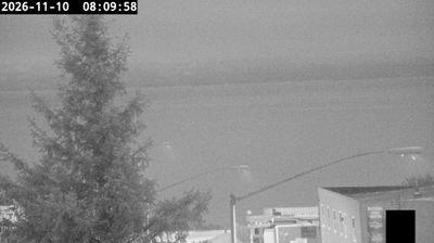

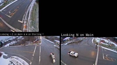
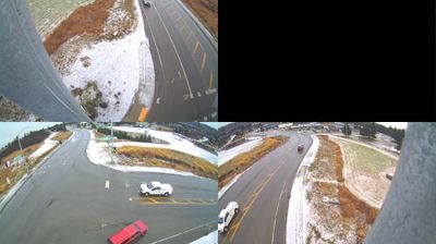

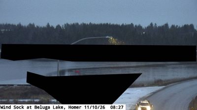

Few communities in Alaska have a history as closely tied to maritime trade and commercial fishing as Seldovia. Set on the southern shore of Kachemak Bay, on the Kenai Peninsula, this small community is reached by boat or air rather than Alaska’s road network. Its harbour has long connected residents with Cook Inlet and the Gulf of Alaska, while the surrounding waters remain central to local life. The 1964 Good Friday earthquake reshaped the waterfront through land subsidence, an event still recalled in the town’s story. St. Nicholas Russian Orthodox Church reflects coastal Alaska’s Russian Orthodox heritage. Continue through nearby webcams to explore different parts of Kachemak Bay and the Kenai Peninsula.
1 webcam
Built around the homelands of Indigenous peoples and later linked by fur-trade and mining routes, Alaska grew into the largest state in the United States. These coordinates lie in the Interior, where the Tanana River crosses a country of broad lowlands, boreal forest and long winters. Alaska extends from the Gulf of Alaska to the Arctic Ocean and includes Denali, North America’s highest mountain. Athabascan communities remain central to the living cultural fabric of the interior. The Alaska Railroad reached Fairbanks in 1923, helping connect this remote region with the coast. Browse additional webcams from the surrounding area to extend your view of Interior Alaska.
411 webcams
The Atlantic, Pacific and Gulf coasts define much of the United States — their ports, fisheries and trade routes have long tied the country’s economy to the wider world. Between them, the Rocky Mountains, Great Plains and Mississippi River basin form sharply different regions, from high western ranges to broad agricultural heartlands. Cities carry much of the national story: New York’s Statue of Liberty, a gift from France dedicated in 1886, remains an enduring symbol, while Washington, DC concentrates major federal institutions. Indigenous nations have shaped these lands for millennia, and their living cultures remain essential to the country’s identity. Find related webcams in the surrounding areas to build a fuller picture of the United States.
32K webcams