 Ludvika: Ludvika Airport
Ludvika Airport lies in the forested uplands of southern Dalarna, where open farmland and conifer woods meet on the edge of the Bergslagen district. The airfield stands southwest of Ludvika, a town associated with the iron and engineering industries that shaped much of central Sweden. Ludvika itself sits beside Lake Väsman, while the wider municipality extends across a landscape of lakes, managed forest and scattered settlements. Bergslagen was one of Sweden’s principal historic mining and ironmaking regions, and that industrial heritage remains central to the identity of towns across this part of Dalarna. Identified by ICAO code ESSG, the airport is a compact part of this rural-industrial setting rather than a large urban transport hub.
Generated by AI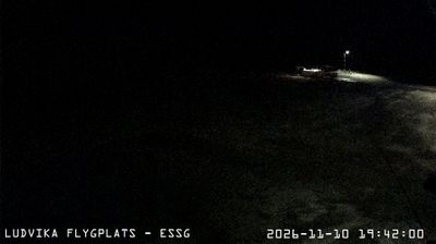
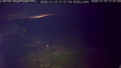
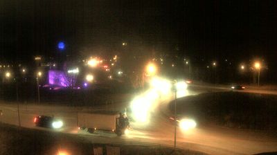

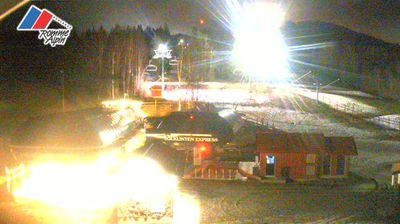



Lake Väsman defines the setting of Ludvika — its shoreline meets a compact town shaped by the wooded, lake-dotted terrain of southern Dalarna. Ludvika belongs to Bergslagen, Sweden’s historic mining and ironworking district, where ore extraction and metal production influenced settlements for centuries. That industrial inheritance remains visible in the town’s role as a centre for power-grid technology: Hitachi Energy has a major presence here. Forests, lakes and former mining country lie close beyond the built-up area, making Ludvika a useful place to understand Dalarna beyond its better-known folk traditions. View additional webcams nearby to better understand how Ludvika and southern Dalarna relate to their surroundings.
5 webcams
Dalarna County is renowned in Sweden for the hand-carved and brightly painted Dala horse, a folk symbol closely tied to the region. Its terrain runs from the forests of Bergslagen towards mountains on the Norwegian border, while the Dalälven River and Lake Siljan shape much of its geography. Falun, the county seat, developed around the historic Falun Copper Mine, now a UNESCO World Heritage Site. Midsummer traditions, regional dress and red-painted timber houses remain strong markers of local identity, particularly around Siljan. View additional webcams nearby to better understand how Dalarna County relates to central Sweden’s forests, lakes and uplands.
24 webcams
Sweden combines Baltic coastal life with Arctic expanses in a way that reflects its position within northern Europe. Forests, lakes and long shorelines define much of the country, from Lake Vänern in the south to the Gulf of Bothnia and the mountains along the Norwegian border. Stockholm spreads across islands where Lake Mälaren meets the Baltic Sea, while the preserved 17th-century warship at the Vasa Museum recalls Sweden’s era as a major European power. Midsummer celebrations and the traditions of the Sámi people add further depth to its regional identity. Browse other webcams across Sweden to place this setting in a wider geographic context.
984 webcams