 Lauenen: Alpenland
Lauenen occupies a broad pastoral valley in the Bernese Oberland. The settlement forms part of the Saanenland, southeast of Gstaad, where meadows, scattered farms and forested slopes shape a quieter side valley. Lauenensee, above the village, is a small mountain lake within a protected landscape of wetlands and alpine pastures. Traditional timber farmhouses reflect the building culture of the Simmental region, while dairy farming remains central to the local landscape. Lauenen is also associated with the Wildhorn massif, whose high Alpine terrain rises beyond the upper valley. The rhythm here is set by fields, barns and mountain routes rather than urban bustle.
Generated by AI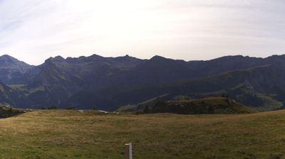
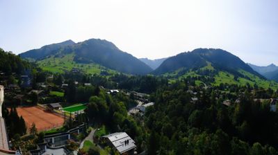
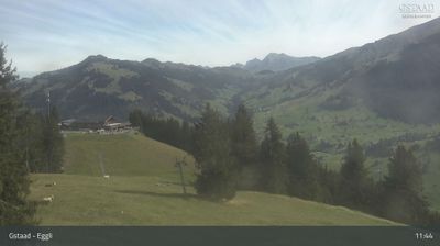

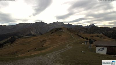
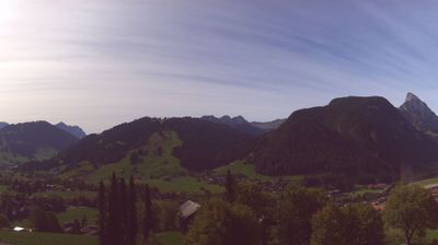
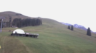

Built around alpine farms in a side valley above Gstaad, Lauenen grew into a small Bernese Oberland community shaped by pastureland and high mountains. Lake Lauenen, known locally as Lauenensee, lies south of the village beneath the surrounding Alpine slopes and is one of the area’s defining natural landmarks. The village’s Reformed church, with origins in the 16th century, reflects Lauenen’s long-established rural identity. Hiking routes and mountain roads link the settlement with the wider Saanenland. Explore nearby webcam locations that provide complementary perspectives on Lauenen and the Bernese Oberland.
1 webcam
Built around the Aare River and routes across the Swiss Plateau, Bern grew into a canton connecting the federal capital with the Bernese Oberland. Its territory extends from Jura foothills and farmland through the Aare valley to the high Alps around the Eiger, Mönch and Jungfrau. The city of Bern, Switzerland’s federal capital, preserves an Old Town inscribed on UNESCO’s World Heritage List, while Thun and Interlaken lead towards Lakes Thun and Brienz. Urban institutions, dairy farming and established alpine resorts give the canton a notably broad Swiss character. View additional webcams nearby to better understand how Bern relates to its Alpine and plateau surroundings.
236 webcams
Switzerland stretches from the Jura Mountains in the northwest to the Alps in the south, encompassing a central plateau of cities, farms and lakes. The Rhine rises in the Swiss Alps, while Lake Geneva forms part of the country’s southwestern border. Zürich, Geneva and Basel are major urban centres, yet mountain railways and passes remain central to how many regions are experienced. Four national languages—German, French, Italian and Romansh—reflect Switzerland’s distinct cantonal identities. The Matterhorn above Zermatt is among Europe’s most recognisable peaks, and the 1291 Federal Charter is closely associated with the country’s founding tradition. Continue through nearby webcams to explore different parts of Switzerland.
1.5K webcams