 Arlington: I-39/90/94 at WIS 60
Few places in Wisconsin have a history as closely tied to farming as Arlington. This small community lies in the rolling agricultural country north of Madison, where broad fields and low wooded ridges shape south-central Wisconsin. The I-39/90/94 corridor carries major long-distance traffic through the area, while local roads continue to serve farms and scattered rural homes. Dairy farming remains central to Wisconsin’s identity, and the working fields around Arlington place that tradition in a contemporary setting of grain crops, transport and small communities. Arlington is less a place of monumental architecture than a useful reference point for the rural character surrounding Madison.
Generated by AI
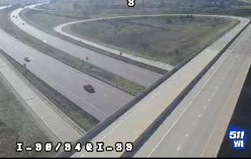


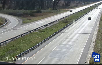


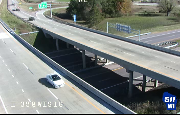



Arlington sits on the gently rolling glacial plain of south-central Wisconsin, United States, where dairy farmland and grain fields extend across Columbia County. The village lies near the junction of U.S. Highway 51 and Wisconsin Highway 60, a useful crossroads between the Madison area and farming communities farther north and east. Its compact scale reflects the working landscape of Wisconsin’s dairy country rather than an urban centre. Spring planting, summer crops, autumn harvest and snowy winters set a clear seasonal rhythm across the surrounding fields. Browse other webcams across Columbia County and south-central Wisconsin to place this setting in a wider geographic context.
1 webcam
Built around Great Lakes shipping, timber, and dairy farming, Wisconsin grew into a Midwestern state with a distinctive industrial and rural identity. Lake Michigan forms its eastern edge, while the Mississippi River marks much of the west; between them lie forests, farms, and thousands of inland lakes. Milwaukee, on Lake Michigan, developed as a major brewing centre, and the state’s dairy tradition remains central to its food culture. In the southwest, the Driftless Area escaped the flattening effects of the last continental glaciation, creating deeply cut river valleys and steep ridges. Find related webcams in the surrounding area to build a fuller picture of Wisconsin.
175 webcams
The Atlantic, Pacific and Gulf coasts define much of the United States — their ports, fisheries and trade routes have long tied the country’s economy to the wider world. Between them, the Rocky Mountains, Great Plains and Mississippi River basin form sharply different regions, from high western ranges to broad agricultural heartlands. Cities carry much of the national story: New York’s Statue of Liberty, a gift from France dedicated in 1886, remains an enduring symbol, while Washington, DC concentrates major federal institutions. Indigenous nations have shaped these lands for millennia, and their living cultures remain essential to the country’s identity. Find related webcams in the surrounding areas to build a fuller picture of the United States.
32K webcams