 Ballarat: Ballarat Airport - Ballarat Aerodrome
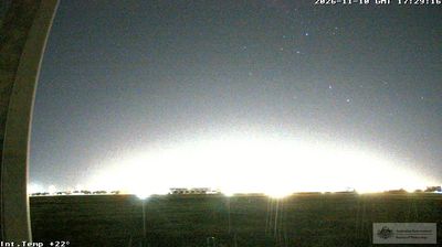
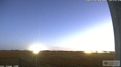
Ballarat Airport occupies open ground northwest of Ballarat in Victoria’s Central Highlands. Also known as Ballarat Aerodrome, it is a general-aviation airfield with runways, taxiways and hangars arranged across a broad, low-rise site. Its setting reflects the open plains around Ballarat, a regional city whose growth accelerated after gold was discovered nearby in 1851. The Eureka Stockade uprising of 1854 remains central to Australia’s democratic story and is commemorated at the Eureka Centre. Ballarat lies on the Yarrowee River and is known for its grand nineteenth-century streetscape, while the airport provides an aviation-focused counterpoint beyond the built-up centre.
Generated by AI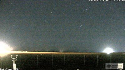






Ballarat lies along the Yarrowee River in Victoria’s Central Highlands, where former goldfields, broad streets and Lake Wendouree shape an inland cityscape. Gold was discovered here in 1851, setting off a rush that transformed the settlement and helped make Ballarat one of colonial Victoria’s major centres. The 1854 Eureka uprising, a defining episode in Australia’s democratic story, is remembered at the Eureka Centre. Sovereign Hill interprets the gold-rush era through a recreated nineteenth-century streetscape, while the city’s civic buildings and gardens reflect the wealth of that period. Lake Wendouree adds a waterside circuit near the centre. Move on to other webcams in Victoria to compare landscapes and settings around Ballarat and the Central Highlands.
5 webcams
Among Australia’s regions, Victoria stands out for the remarkable variety packed between the Murray River and Bass Strait. The state combines fertile northern plains, the Central Victorian Goldfields, the forested Great Dividing Range and a long southern coast. Bendigo and Ballarat grew rapidly during the gold rushes of the 1850s, while Melbourne developed into Victoria’s cultural and economic centre. Along the southwest, the Great Ocean Road follows a dramatic stretch of coastline, contrasting with the farmland and river country inland. See how Victoria belongs within southeastern Australia by browsing webcams across the region.
278 webcams
Australia’s terrain extends from tropical rainforests in the northeast to arid plains in the interior, producing dramatic climatic contrasts. The Great Dividing Range follows much of the eastern coast, while the Great Barrier Reef lies off Queensland in the Coral Sea and Uluru rises from the central desert. Aboriginal and Torres Strait Islander peoples maintain living cultures whose connections to Country long predate European settlement. In Sydney, the sail-like Opera House, completed in 1973, stands beside one of the world’s best-known harbours. Discover further points of interest through webcams located across Australia.
1.5K webcams