 Gothenburg: Riksbyggen
Gothenburg combines a working port with compact inner-city growth in a way that reflects its position at the mouth of the Göta älv. Sweden’s second-largest city developed around its harbour, and its quays, rail corridors and former industrial areas remain integral to its urban form. Dense blocks and transport infrastructure meet ongoing redevelopment across the old dockside and manufacturing belt. Riksbyggen, a Swedish housing cooperative founded in 1940, is part of this continuing transformation. Gothenburg is also shaped by its canal network and the grid laid out when the city was founded in 1621, linking a trading past with a changing residential and business cityscape.
Generated by AI
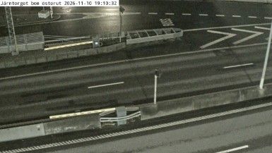
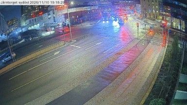
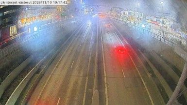

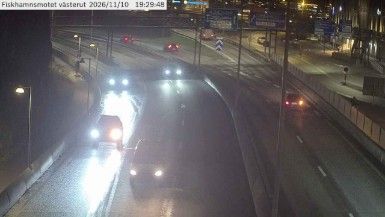
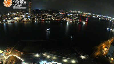
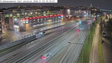
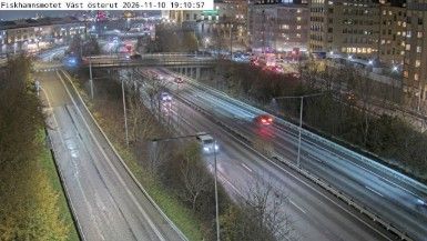
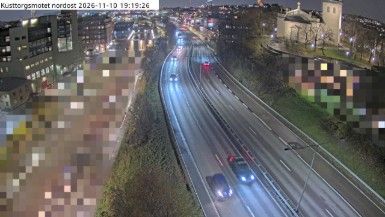

Gothenburg lies along the Göta älv, where Sweden’s largest river reaches the Kattegat on the country’s west coast. The city developed as a major port, and its quays, canals and active harbour still give the centre a distinctly maritime scale. Founded in 1621, Gothenburg was planned with Dutch assistance; the moat and canals around the old core recall that early design. Haga, once a working-class district, is known for preserved wooden houses and cafés, while the Gothenburg Archipelago begins beyond the urban waterfront. The city is also home to Liseberg, one of Scandinavia’s best-known amusement parks, and the Gothenburg Museum of Art at Götaplatsen. Continue through nearby webcams to explore Gothenburg and the Västra Götaland coast.
21 webcams
Västra Götaland County has served as an administrative region within Sweden since 1998. It brings together the historic provinces of Västergötland, Bohuslän and Dalsland, extending from the Skagerrak coast to the shores of Lake Vänern, Sweden’s largest lake. Gothenburg, Sweden’s second-largest city, is its urban centre and a major port on the Göta älv. Along the coast, the Bohuslän archipelago is defined by granite islands and fishing communities, while inland waterways around Trollhättan connect Vänern with the west coast. Läckö Castle, on the shore of Vänern, recalls the region’s early-modern aristocratic past. Trace Västra Götaland County’s place in western Sweden by browsing webcams across the region.
401 webcams
Sweden combines Baltic coastal life with Arctic expanses in a way that reflects its position within northern Europe. Forests, lakes and long shorelines define much of the country, from Lake Vänern in the south to the Gulf of Bothnia and the mountains along the Norwegian border. Stockholm spreads across islands where Lake Mälaren meets the Baltic Sea, while the preserved 17th-century warship at the Vasa Museum recalls Sweden’s era as a major European power. Midsummer celebrations and the traditions of the Sámi people add further depth to its regional identity. Browse other webcams across Sweden to place this setting in a wider geographic context.
990 webcams