 Thủ Đức: Đường Phạm Văn Đồng - Kha Vạn Cân
The Phạm Văn Đồng–Kha Vạn Cân junction combines a broad urban thoroughfare with tightly packed small-business frontage in a way that reflects its position in Ho Chi Minh City’s expanding northeast. Phạm Văn Đồng is a major boulevard serving Thủ Đức and linking northern districts with routes toward Tân Sơn Nhất International Airport. Kha Vạn Cân brings local commerce, everyday services and motorbike traffic into the area. Ho Chi Minh City extends across the Saigon River basin, while Linh Trung is part of Thủ Đức City. The boulevard is named for Phạm Văn Đồng, who served as prime minister of North Vietnam and later unified Vietnam.
Generated by AI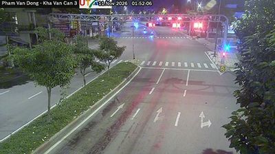




Among the urban areas of Ho Chi Minh City, Thủ Đức stands out for bringing together major university campuses and the Saigon Hi-Tech Park. The city extends east of the Saigon River, where fast-growing residential districts meet key transport corridors leading toward the southeast of Vietnam. Vietnam National University, Ho Chi Minh City, gives the area a strong academic presence, while Suối Tiên Cultural Theme Park is a familiar local destination. Established in 2021 through the merger of three former districts, Thủ Đức is central to the metropolis’s plans for innovation-led growth. Move on to other webcams in Ho Chi Minh City to compare urban settings around Thủ Đức.
40 webcams
Ho Chi Minh City stretches from the Saigon River through central District 1 to the mangrove-lined coast of Can Gio, encompassing intensely urban neighbourhoods and tidal wetlands. Formerly known as Saigon, it is Vietnam’s largest city and a fast-moving centre of commerce, street food, and contemporary culture. French colonial-era landmarks remain part of the city centre, including the Central Post Office and the Notre-Dame Cathedral Basilica of Saigon. The Saigon River continues to shape the city’s waterfront districts, while Can Gio forms a markedly quieter southern edge. Find related webcams in the surrounding area to build a fuller picture of Ho Chi Minh City.
678 webcams
Vietnam has served as a frontier between Chinese and Southeast Asian cultural spheres since the first millennium. This long, narrow country extends from the Red River delta in the north to the Mekong delta in the south, while the Annamite Range forms much of its western spine. Ha Long Bay’s limestone islands contrast with broad rice-growing lowlands. In central Vietnam, Huế was the seat of the Nguyễn dynasty, and Hội An retains the character of a historic trading port shaped by Asian and European commerce. Pho, regional noodle dishes and a lively coffee culture are part of daily life. View additional webcams nearby to better understand how Vietnam relates to the South China Sea and mainland Southeast Asia.
705 webcams