 Meierijstad: Veghel
Few places in North Brabant have a history as closely tied to inland canal trade and food processing as Veghel. The town stands on the River Aa and the Zuid-Willemsvaart, a canal opened in 1826 that connected the region with ’s-Hertogenbosch and Maastricht. This waterway helped turn Veghel from a market settlement into an industrial and logistics centre, particularly for food-related businesses. Veghel became part of the municipality of Meierijstad in 2017, alongside Schijndel and Sint-Oedenrode. Its built-up areas blend low-rise neighbourhoods with the wooded, flat character of the Brabant countryside.
Generated by AI


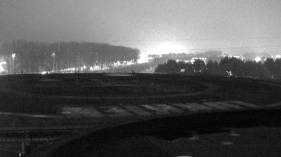
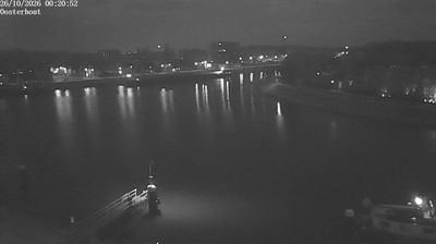

Meierijstad straddles the River Aa in North Brabant, a position that has linked its settlements to the fertile, low-lying countryside of the historic Meierij. Created in 2017 by the merger of Veghel, Schijndel and Sint-Oedenrode, the municipality brings together market-town centres, farms and newer residential districts rather than a single urban core. In Veghel, the former CHV industrial complex at Noordkade has been repurposed for culture, food and events, reflecting the area’s long association with trade and industry. The Aa and rural lanes give the municipality a distinctly Brabant setting, while its main towns retain their own identities. Browse other webcams across North Brabant to place this setting in a wider geographic context.
2 webcams
North Brabant is best known within the Netherlands for the design and technology cluster centred on Eindhoven. This southern province extends from the Belgian border towards the Maas, with sandy heathlands, woods and farmland shaping much of its interior. Eindhoven’s links with Philips helped establish its modern industrial identity, while ’s-Hertogenbosch preserves the Gothic St John’s Cathedral and associations with painter Hieronymus Bosch, who was born there. In the east, De Peel recalls a landscape long altered by peat extraction and cultivation. Brewing and café culture remain an important part of everyday life in its cities and market towns. Explore nearby webcam locations that provide complementary perspectives on North Brabant.
8 webcams
Among the countries of northwestern Europe, the Netherlands stands out for its carefully managed lowlands in the Rhine–Meuse–Scheldt delta. Much of the country lies low in relation to the sea, and dikes, dunes, pumps and polders are integral to its everyday geography. The North Sea coast ranges from broad beaches to the Wadden Sea, a tidal area shared with Germany and Denmark. Amsterdam’s 17th-century canal ring recalls an era when Dutch trade connected the republic with ports around the world. Beyond the capital, bicycles, dairy farming, bulb fields and compact historic cities give the country a distinct rhythm. Rotterdam’s port and the Delta Works show how maritime commerce and water engineering remain central. View additional webcams nearby to better understand how the Rhine–Meuse–Scheldt delta relates to its North Sea surroundings.
129 webcams