 Zlijebi: Dizdarica (tubud)
Boka Bay defines the setting of Žlijebi — this elevated settlement in Montenegro’s Herceg Novi Municipality looks across a deeply indented Adriatic bay shaped by steep, rocky slopes. Dizdarica lies in the limestone uplands above the coast, where scrub, woodland and scattered homes occupy the uneven terrain rather than a continuous urban strip. Known locally as Boka Kotorska, the bay is among the Adriatic’s most enclosed coastal landscapes, with narrow passages leading towards the open sea. Below these uplands, Herceg Novi’s old town provides a cultural counterpoint, with stone lanes and defensive fortifications reflecting the bay’s long strategic importance. Žlijebi presents the quieter, rural side of the Montenegrin coast, where terrain remains the defining feature.
Generated by AI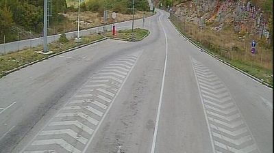
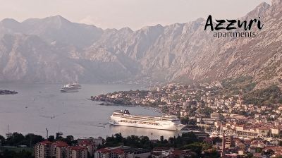



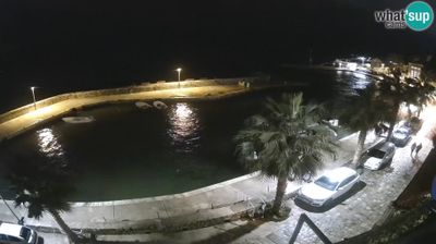

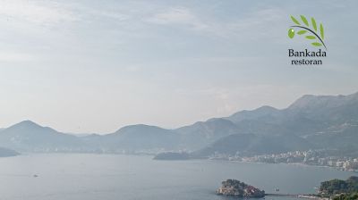


Tucked into the limestone foothills of Mount Orjen above the Bay of Kotor, Žlijebi is a place whose character is shaped by rugged karst terrain and its position between the Adriatic coast and Montenegro’s high interior. This small settlement belongs to Herceg Novi Municipality, but its setting feels distinctly upland rather than urban. Stone-built homes and terraced plots reflect the practical rural architecture long associated with this part of the coast’s mountainous hinterland. The Orjen massif, one of the Dinaric Alps, rises behind the village, while the Bay of Kotor lies below. Browse other webcams across Herceg Novi Municipality to place this mountain setting in a wider geographic context.
1 webcam
Herceg Novi Municipality has served as a cultural crossroads within Montenegro since the late Middle Ages. At the entrance to the Bay of Kotor, its narrow Adriatic coast rises quickly toward the Orjen massif and the Croatian border. Herceg Novi was founded in 1382 and passed through several regional powers; that layered past remains visible in the stepped old town, the Forte Mare and Kanli Kula fortresses, and Savina Monastery. Promenades, small beaches and a maritime character define the shore, while the inland terrain is markedly more rugged. Find related webcams in the surrounding Boka Bay area to build a fuller picture of Herceg Novi Municipality.
2 webcams
Montenegro occupies a rugged Adriatic coast and mountainous interior in southeastern Europe. The Bay of Kotor cuts deep into the shore beneath steep slopes, while Durmitor National Park protects high Dinaric terrain and the Tara River canyon. Kotor’s fortified old town, shaped during centuries of Venetian rule, is a UNESCO World Heritage site; its lanes and squares contrast with the beaches around Budva. Inland, Lake Skadar forms part of the border with Albania and supports an important wetland ecosystem. Orthodox monasteries, Ottoman-era traces and a strong café culture reflect the country’s layered past. Find related webcams in the surrounding area to build a fuller picture of Montenegro’s coast and mountains.
11 webcams