 Laramie: I 80 Telephone Canyon - Road Surface
Among the places of southeastern Wyoming, Laramie stands out for its role as a university city in the broad Laramie Valley. The Laramie River runs through the city before joining the North Platte River, while the Snowy Range rises to the west and the Laramie Range lies to the east. Founded beside the Union Pacific railroad in 1868, Laramie grew from a frontier rail town into the home of the University of Wyoming, established in 1886. Its campus gives the community a cultural and research presence unusual for a city of its size. Interstate 80 skirts Laramie’s southern side, linking it with Cheyenne and western Wyoming and carrying freight across this open part of the state. Downtown retains commercial buildings from the late 19th and early 20th centuries, preserving a connection to the railroad era.
Generated by AI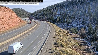
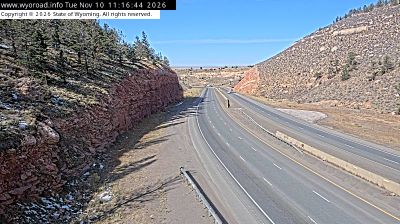
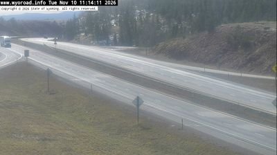

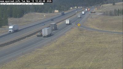
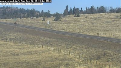
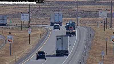
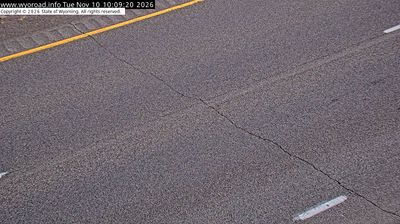
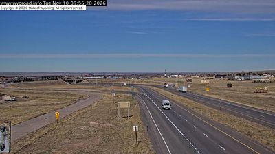
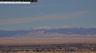

Laramie combines frontier-era streetscapes with the broad openness of the high plains in a way that reflects its position beside the Laramie River in southeastern Wyoming. The city developed with the arrival of the Union Pacific Railroad in 1868 and remains home to the University of Wyoming, founded in 1886. The Wyoming Territorial Prison, which held inmates from 1872 to 1903, preserves a tangible link to the territorial period. Browse webcams nearby to see how Laramie fits within Wyoming’s wider high-plains country.
17 webcams
Wyoming stretches from the Montana border to its frontiers with Colorado and Utah, encompassing the high Rockies, broad basins, and Great Plains. The Continental Divide crosses the state, while the Wind River and Bighorn River drain contrasting sides of its interior. In the northwest, Yellowstone National Park—established in 1872 as the world’s first national park—and Grand Teton National Park place geothermal country and sharp mountain relief at the centre of Wyoming’s identity. Ranching remains integral to its open-country culture, alongside communities shaped by railroads, energy, and outdoor travel. Discover how Wyoming connects with the wider American West by browsing webcams nearby.
695 webcams
The Atlantic, Pacific and Gulf coasts define much of the United States — their ports, fisheries and trade routes have long tied the country’s economy to the wider world. Between them, the Rocky Mountains, Great Plains and Mississippi River basin form sharply different regions, from high western ranges to broad agricultural heartlands. Cities carry much of the national story: New York’s Statue of Liberty, a gift from France dedicated in 1886, remains an enduring symbol, while Washington, DC concentrates major federal institutions. Indigenous nations have shaped these lands for millennia, and their living cultures remain essential to the country’s identity. Find related webcams in the surrounding areas to build a fuller picture of the United States.
32K webcams