 Dayton: I 90 Montana State Line - Road Surface
Dayton has served as a settlement on the eastern foothills of the Bighorn Mountains in northern Wyoming since the late 19th century. The town lies beside the Tongue River, where open plains meet the wooded slopes and canyons of Bighorn National Forest. U.S. Route 14 follows the river west from Dayton through Tongue River Canyon, making the community a familiar stop on the mountain road between Sheridan County and the Bighorn high country. Dayton’s modest, low-rise fabric reflects its long connection to cattle country and the rural settlements spread along the mountain front. Its scale and setting make it a useful reference point for exploring this less urban side of Wyoming.
Generated by AI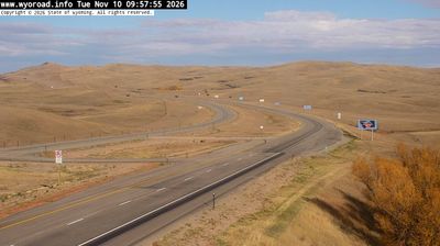
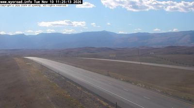


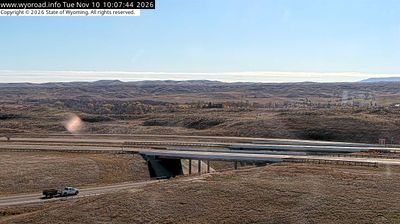
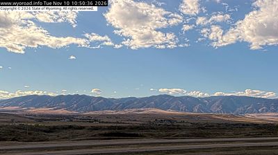
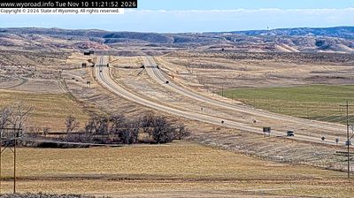
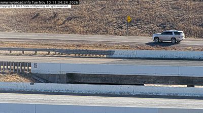
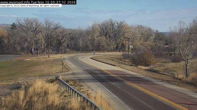
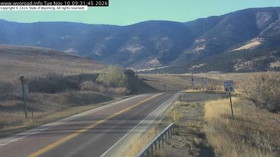

Few cities in Wyoming have a history as closely tied to settlement along the Tongue River as Dayton. Set at the northern foothills of the Bighorn Mountains, the town occupies a valley where open grassland quickly gives way to timbered slopes and the higher country of Bighorn National Forest. U.S. Route 14, part of the Bighorn Scenic Byway, passes through Dayton on its way toward mountain passes. The town remains closely connected to the ranching communities of Sheridan County, while mountain weather and the nearby range shape daily life. Find related webcams in the surrounding area to build a fuller picture of Dayton and the Bighorn foothills.
3 webcams
Wyoming stretches from the Montana border to its frontiers with Colorado and Utah, encompassing the high Rockies, broad basins, and Great Plains. The Continental Divide crosses the state, while the Wind River and Bighorn River drain contrasting sides of its interior. In the northwest, Yellowstone National Park—established in 1872 as the world’s first national park—and Grand Teton National Park place geothermal country and sharp mountain relief at the centre of Wyoming’s identity. Ranching remains integral to its open-country culture, alongside communities shaped by railroads, energy, and outdoor travel. Discover how Wyoming connects with the wider American West by browsing webcams nearby.
695 webcams
The Atlantic, Pacific and Gulf coasts define much of the United States — their ports, fisheries and trade routes have long tied the country’s economy to the wider world. Between them, the Rocky Mountains, Great Plains and Mississippi River basin form sharply different regions, from high western ranges to broad agricultural heartlands. Cities carry much of the national story: New York’s Statue of Liberty, a gift from France dedicated in 1886, remains an enduring symbol, while Washington, DC concentrates major federal institutions. Indigenous nations have shaped these lands for millennia, and their living cultures remain essential to the country’s identity. Find related webcams in the surrounding areas to build a fuller picture of the United States.
32K webcams