 Besqaynar: «Ugusha» Children's Center - Ugusha Kids Club
Among the places of Almaty Region, Talgar stands out for its position at the northern foot of the Trans-Ili Alatau. The town lies east of Almaty, where the Talgar River leaves mountain valleys for the broad Ili Basin. Ugusha Children’s Center and Ugusha Kids Club belong to this foothill setting, with trees, low-rise facilities and slopes close to the settlement. Talgar also gives its name to the medieval Talgar settlement, an archaeological site included in UNESCO’s Silk Roads: the Routes Network of Chang'an–Tianshan Corridor. This association reflects the area’s place on historic routes connecting Central Asia with China. Today, Talgar combines a growing residential townscape with access to the mountain valleys of southeastern Kazakhstan.
Generated by AI
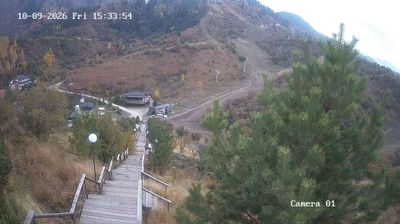




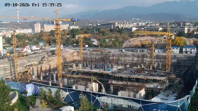

Tucked into the northern foothills of the Trans-Ili Alatau in southeastern Kazakhstan, Besqaynar is a settlement whose character is shaped by the climb from the Ili Basin toward mountain terrain. It lies in Almaty Region, east of Almaty, where local roads lead into the slopes below the range. Seasonal contrasts are pronounced here: open foothill country gives way to higher mountain forests, setting the area apart from Kazakhstan’s broad steppe interior. Besqaynar is close to Oi-Qaragai, a year-round mountain resort associated with outdoor recreation in the foothills. Kazakh traditions remain an important part of everyday life across this region. Browse additional webcams from the Trans-Ili Alatau foothills to extend your view of southeastern Kazakhstan.
3 webcams
Almaty Region is renowned in Kazakhstan for the snow-fed Ile Alatau range, the northern rim of the Tian Shan. Its territory reaches far beyond the mountains: toward Lake Balkhash, the land opens into dry steppe and desert, while the Ili River is one of the lake’s main inflows and forms a broad delta. The contrast between high relief and lowland basins defines much of the region’s character, with seasonal snowmelt feeding rivers and wetlands below. The UNESCO-listed Petroglyphs within the Archaeological Landscape of Tamgaly preserve Bronze Age rock carvings and later monuments. Browse other webcams across Almaty Region to place this setting in a wider geographic context.
4 webcams
Kazakhstan combines nomadic steppe heritage with a rapidly modernising urban identity in a way that reflects its position between Europe and Central Asia. The country stretches from the Caspian Sea in the west across immense grasslands to the Altai and Tian Shan mountain systems in the east and southeast. Astana, its capital, is known for bold contemporary architecture, while Almaty lies near the northern Tian Shan foothills. In the south, Turkistan is home to the Mausoleum of Khoja Ahmed Yasawi, a major monument of Timurid architecture and a UNESCO World Heritage site. Baikonur Cosmodrome launched the first human into space in 1961. Discover other points of interest through webcams located across Kazakhstan.
18 webcams