 Saint-Hippolyte: Biology station of Laurentides - Lac Croche - Chemin du Lac Croche
Tucked into the forested Laurentian uplands, Saint-Hippolyte is a place whose character is shaped by its lakes and mixed woodland. Lac Croche belongs to a terrain of conifers, deciduous trees and exposed rock, approached locally by Chemin du Lac Croche. The Université de Montréal’s Station de biologie des Laurentides is based here, making the area a field setting for university teaching and ecological research. This part of the municipality lies within the wider Laurentides north of Montréal, where the ancient Canadian Shield underlies a dense network of lakes. The station gives Saint-Hippolyte a scientific role within a region associated with woodland, lakeside cottages and outdoor recreation.
Generated by AI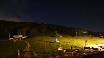
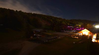
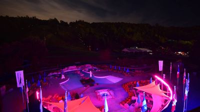
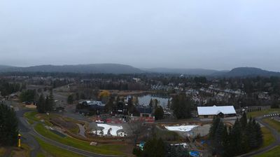
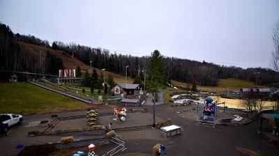
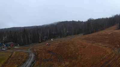
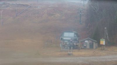
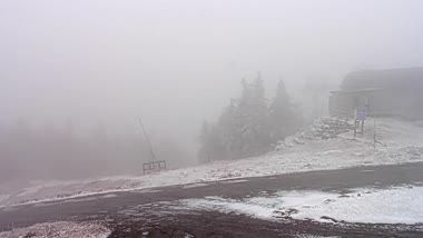

Lac l’Achigan defines the setting of Saint-Hippolyte — its wooded shores and the municipality’s many other lakes have shaped a dispersed community of homes, cottages and recreation areas in the Laurentides. North of Montréal, Saint-Hippolyte occupies rolling, forested terrain rather than the dense urban fabric of the St. Lawrence lowlands. Water is central to local routines, from boating and swimming during warmer months to winter travel across snow-covered roads and trails. French-speaking Quebec culture anchors community life, while the village centre provides local services amid a landscape divided by lakes and woodland. Browse additional webcams from the surrounding Laurentides to extend your view of this lake-dotted region.
1 webcam
Quebec has served as a French-speaking heartland within Canada since the 17th century. This vast province stretches from the St. Lawrence River valley to the subarctic north, and the coordinates here lie in its extensive Canadian Shield interior. Boreal forest, lakes, wetlands and rock outcrops shape this sparsely settled part of northern Quebec, where waterways are central to travel and seasonal life. French is Quebec’s official language, while Indigenous nations maintain enduring ties to territories across the province. Quebec City’s historic centre, founded in the early French colonial era, is a UNESCO World Heritage site. Browse additional webcams from the surrounding area to extend your view of northern Quebec.
59 webcams
Canada has served as a frontier between French and British colonial powers since the 17th century. The world’s second-largest country extends from Atlantic shores to the Pacific and Arctic coasts, with the Canadian Shield, the Rocky Mountains, the Great Lakes and the St. Lawrence River shaping its vast geography. First Nations, Inuit and Métis peoples are central to Canada’s identity, while Ottawa’s Parliament Hill represents its federal political life. French remains the official language of Quebec, adding a distinct dimension to the country’s public culture. See how Canada connects across North America by browsing webcams in neighbouring regions.
3.5K webcams