 Gordonvale: Peet's Bridge
Peet's Bridge occupies a low crossing over the Mulgrave River in Far North Queensland. It stands on the broad coastal plain near Gordonvale, south of Cairns, where the river flows from the forested ranges toward the Coral Sea. Gordonvale developed as a sugar-growing settlement, and cane cultivation remains a defining use of land across the Mulgrave Valley. The town is also associated with Mulgrave Mill, a major local sugar mill. Roads around the bridge connect the settled river plain with rural localities and the route toward the Atherton Tablelands through the Gillies Range.
Generated by AI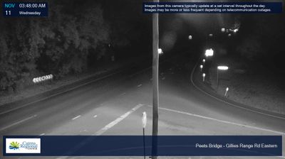

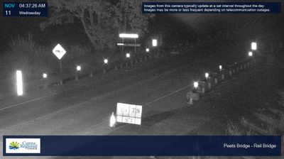



Gordonvale is best known in Queensland for the Mulgrave Mill, which began crushing sugar cane in 1896. Set on the Mulgrave River floodplain south of Cairns, the town is bordered by cane fields and the rainforest-covered slopes of the nearby Wet Tropics. The annual crushing season still sets a defining local rhythm, as cane railways bring harvests from surrounding farms to one of Far North Queensland’s established industries. Walshs Pyramid is a prominent landmark near town, while the Gillies Range Road leads inland towards the Atherton Tablelands. View additional webcams nearby to better understand how Gordonvale relates to the Mulgrave Valley and the Cairns hinterland.
3 webcams
Queensland extends from Torres Strait in the north to the New South Wales border in the south, encompassing a tropical coastline and a vast, dry interior. Along the Coral Sea, the Great Barrier Reef runs beside the state’s eastern shore, while inland plains, grazing country and long distances define much of central and western Queensland. This location lies in the interior, where settlements are widely spaced and open outback horizons contrast with the humid coast. Queensland is home to Aboriginal and Torres Strait Islander peoples, whose enduring connections to Country underpin its cultural identity. Browse additional webcams from central Queensland to extend your view of the state’s interior.
474 webcams
Australia’s terrain extends from tropical rainforests in the northeast to arid plains in the interior, producing dramatic climatic contrasts. The Great Dividing Range follows much of the eastern coast, while the Great Barrier Reef lies off Queensland in the Coral Sea and Uluru rises from the central desert. Aboriginal and Torres Strait Islander peoples maintain living cultures whose connections to Country long predate European settlement. In Sydney, the sail-like Opera House, completed in 1973, stands beside one of the world’s best-known harbours. Discover further points of interest through webcams located across Australia.
1.6K webcams