 Nurhak
The Nurhak Mountains define the setting of Nurhak — this district town in Kahramanmaraş Province is shaped by the rugged mountain country of south-central Turkey. Its built-up centre follows broad streets lined with small businesses, apartment blocks and everyday services, while the surrounding terrain keeps the settlement compact. Nurhak is the administrative centre of its district, a role reflected in its concentration of local commerce and road traffic. The town’s close relationship with the Nurhak range, part of the Taurus mountain system, distinguishes it from the larger cities of the province. It is a working Anatolian town shaped by regional connections and a largely rural hinterland.
Generated by AI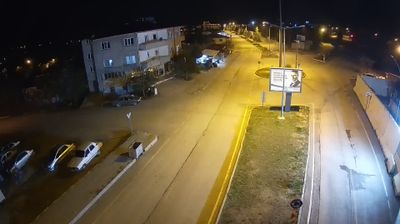


Nurhak is best known within Turkey for the Nurhak Mountains, a high eastern section of the Taurus range that gives this district centre its upland character. The town lies in Kahramanmaraş Province, in south-central Anatolia, where mountain routes and agricultural settlements shape daily life more than the urban scale of provincial centres. Mount Nurhak, the range’s best-known summit, rises above a terrain of ridges, seasonal pastures and cultivated valleys. The wider province is also associated with Maraş dondurması, the dense ice cream traditionally made with salep and mastic. Browse other webcams across Kahramanmaraş Province to place Nurhak in a wider geographic context.
1 webcam
Kahramanmaraş has served as a cultural crossroads within southern Anatolia since antiquity. The provincial capital lies below Ahir Mountain, while the wider province reaches from rugged uplands into the Ceyhan River basin. Known as Germanicia in the Roman period, the city developed at the meeting point of routes linking Anatolia with the eastern Mediterranean and Mesopotamia. Its best-known culinary tradition is Maraş dondurması, the chewy local ice cream made with salep. The February 2023 earthquakes profoundly affected the area, and reconstruction remains part of its present-day story. Continue through nearby webcams to explore different parts of Kahramanmaraş.
7 webcams
Turkey stretches from the Black Sea coast to the Mediterranean shore, encompassing the Anatolian Plateau, rugged mountain belts and the indented Aegean coastline. The Bosporus divides Istanbul between Europe and Asia, while historic districts hold landmarks including Hagia Sophia and the Blue Mosque. Inland, Cappadocia is known for valleys formed in soft volcanic rock and for rock-cut churches; farther west, the ruins of Ephesus recall the country’s place in the classical world. Regional character also defines Turkish cuisine, from Aegean olive-oil dishes to tea served throughout daily life. Continue with other webcams from the area to see how this part of Anatolia and the eastern Mediterranean connects regionally.
65 webcams