 Sanam Bin Subdistrict
Few places in Bangkok have a history as closely bound to Thai aviation as Don Mueang. Opened in 1914 as a military airfield, Don Mueang International Airport remains closely associated with Royal Thai Air Force Base Don Mueang, which occupies the same northern Bangkok site. The airport is now a major base for domestic and low-cost international flights, giving this part of Sanam Bin Subdistrict a distinctly transport-led identity. Vibhavadi Rangsit Road runs alongside the airport, while the SRT Dark Red Line serves Don Mueang station and the terminals. The area lies on the northern urban plain of the Chao Phraya River basin, where airport roads, railways and dense metropolitan development converge.
Generated by AI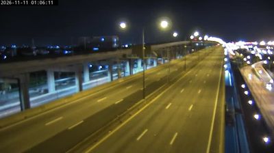
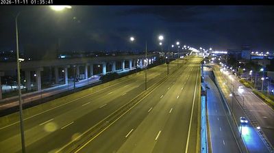


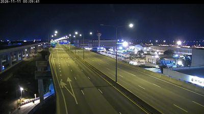

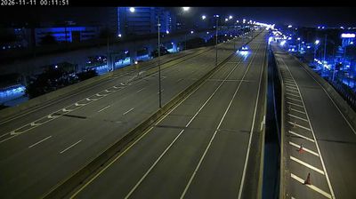



Few places in Bangkok have a history as closely tied to aviation as Sanam Bin Subdistrict. Set on the flat Chao Phraya floodplain in the city’s north, it is dominated by Don Mueang International Airport and the adjoining Royal Thai Air Force base. Don Mueang was Bangkok’s principal commercial airport before Suvarnabhumi opened in 2006, and it remains an important hub for domestic and regional flights. Its Thai name means “airport”, fitting a district shaped by runways, rail connections and the steady rhythm of travel rather than riverside monuments. Move on to other webcams in Bangkok to compare urban settings around the Chao Phraya plain.
6 webcams
Bangkok is best known within Thailand for the Grand Palace, the historic royal complex at the heart of the old city. Built beside the Chao Phraya River, the capital grew from a riverside settlement into Thailand’s political, commercial, and cultural centre. Rattanakosin Island holds major Buddhist sites including Wat Pho, while the river remains a working route for ferries, cargo boats, and long-tail boats. Beyond the historic core, dense neighbourhoods, street-food districts, markets, and modern rail lines reveal the scale and energy of a city of many layers. See how Bangkok connects with its wider metropolitan area by browsing webcams nearby.
36 webcams
Thailand stretches from the mountains along its northern borders to the Malay Peninsula, encompassing fertile central plains, river deltas and long tropical coasts. The Chao Phraya River runs through Bangkok, where the Grand Palace and Wat Phra Kaew remain central symbols of the Thai monarchy and Buddhist tradition. North of the capital, Ayutthaya’s temple ruins recall the former Siamese kingdom; farther south, the Andaman Sea and Gulf of Thailand frame islands, fishing ports and beach resorts. Thai food, from street stalls to regional kitchens, is inseparable from daily life, while Songkran marks the traditional New Year each April. Browse additional webcams from the surrounding area to extend your view of Thailand.
151 webcams