 Lebanon: I-65: 1-065-138-8-_-_-cam-1 I-65/138.8 SR 39
Lebanon is best known within Indiana for its role as the county seat of Boone County. Set on central Indiana’s broad glacial plain, the city developed as a farming and trading center and remains surrounded by the corn and soybean country characteristic of the region. Its downtown is organized around the Boone County Courthouse, the civic focus of the community, while Interstate 65 and State Road 32 place Lebanon on major north–south and east–west transport routes. This connection has brought logistics, manufacturing and retail development to the edges of town without replacing its administrative role. Lebanon also hosts the Boone County 4-H Fair, reflecting the area’s continuing agricultural traditions.
Generated by AI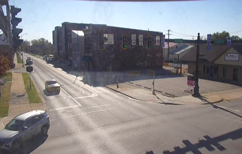

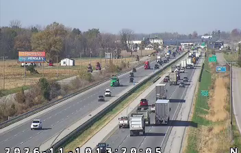
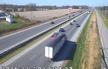
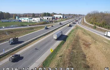
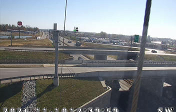
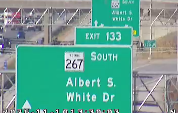

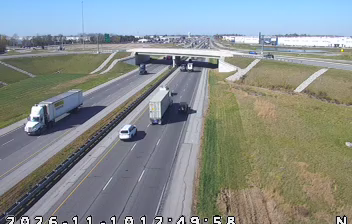


Lebanon combines the civic calm of a courthouse square with the practical pace of a central Indiana transport corridor, reflecting its position as the seat of Boone County. The city stands amid the gently rolling farmland of the Indiana interior, northwest of Indianapolis, where Interstate 65 and U.S. Route 52 connect local businesses and commuters to the wider state. The Boone County Courthouse anchors downtown, while the Big Four Trail follows a former railroad corridor for walking and cycling. The annual Boone County 4-H Fair also reflects the area's continuing agricultural traditions. Continue through nearby webcams to explore different parts of Lebanon and central Indiana.
3 webcams
Indiana’s terrain ranges from the sandy Lake Michigan shore and glaciated plains in the north to wooded, rolling hills in the south, creating a clear shift in character across the state. The Wabash River, Indiana’s state river, follows much of the western border before meeting the Ohio River. Indianapolis anchors the centre with the Indianapolis Motor Speedway, home of the Indianapolis 500, while smaller cities and farming communities reflect the importance of corn and soybean country. Indiana Dunes National Park adds beaches and dune formations to a state better known for its interior. Find related webcams in the surrounding area to build a fuller picture of Indiana.
353 webcams
The Atlantic, Pacific and Gulf coasts define much of the United States — their ports, fisheries and trade routes have long tied the country’s economy to the wider world. Between them, the Rocky Mountains, Great Plains and Mississippi River basin form sharply different regions, from high western ranges to broad agricultural heartlands. Cities carry much of the national story: New York’s Statue of Liberty, a gift from France dedicated in 1886, remains an enduring symbol, while Washington, DC concentrates major federal institutions. Indigenous nations have shaped these lands for millennia, and their living cultures remain essential to the country’s identity. Find related webcams in the surrounding areas to build a fuller picture of the United States.
32K webcams