 Peters Switch: I-65: 1-065-055-4-2 SR 11
Among the places of Indiana, Peters Switch stands out for the junction of Interstate 65 and U.S. Route 50, where a major north–south freight corridor meets the rural road network of Jackson County. This small unincorporated locality lies in an agricultural setting of broad fields, farmsteads and drainage ditches, close to the East Fork White River. I-65 links this part of the state with Louisville and the Chicago area, giving the interchange a practical role in regional travel and freight movement. Peters Switch belongs to the wider Seymour area, the hometown of singer-songwriter John Mellencamp. The locality reflects southern Indiana’s working countryside, where daily highway traffic meets open farmland.
Generated by AI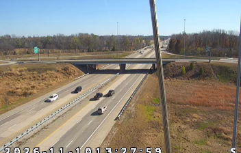
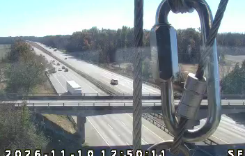
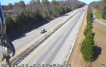

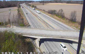


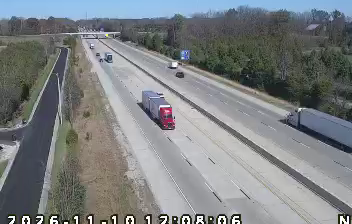

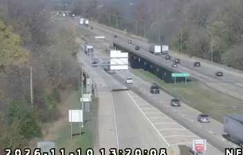

Among the communities of southern Indiana, Peters Switch stands out for its quiet position in the gently rolling farmland of Jackson County. This small locality lies north of Seymour, amid a Midwestern mix of cultivated fields, wooded parcels and rural roads. The wider area has long been tied to agriculture, while nearby Seymour developed as a railroad crossroads and remains the main urban centre for surrounding settlements. Peters Switch represents Indiana away from its largest cities: local, low-key and closely connected to the working countryside. Find related webcams across Jackson County and southern Indiana to build a fuller picture of Peters Switch and its rural setting.
2 webcams
Indiana’s terrain ranges from the sandy Lake Michigan shore and glaciated plains in the north to wooded, rolling hills in the south, creating a clear shift in character across the state. The Wabash River, Indiana’s state river, follows much of the western border before meeting the Ohio River. Indianapolis anchors the centre with the Indianapolis Motor Speedway, home of the Indianapolis 500, while smaller cities and farming communities reflect the importance of corn and soybean country. Indiana Dunes National Park adds beaches and dune formations to a state better known for its interior. Find related webcams in the surrounding area to build a fuller picture of Indiana.
353 webcams
The Atlantic, Pacific and Gulf coasts define much of the United States — their ports, fisheries and trade routes have long tied the country’s economy to the wider world. Between them, the Rocky Mountains, Great Plains and Mississippi River basin form sharply different regions, from high western ranges to broad agricultural heartlands. Cities carry much of the national story: New York’s Statue of Liberty, a gift from France dedicated in 1886, remains an enduring symbol, while Washington, DC concentrates major federal institutions. Indigenous nations have shaped these lands for millennia, and their living cultures remain essential to the country’s identity. Find related webcams in the surrounding areas to build a fuller picture of the United States.
32K webcams