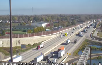
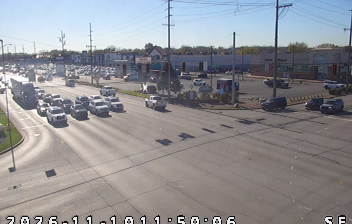
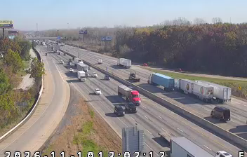
 Hammond: Calumet Center: I-80: 1-094-000-9-_-_-cam-1 I-80-94/0.9 US 41 N CALUMET AVE
Hammond lies along the southern shore of Lake Michigan, where the flat Calumet Region meets one of North America’s most urbanized industrial corridors. Part of the Chicago metropolitan area, the city was shaped by railroads, manufacturing and steelmaking around the lakefront. Interstate 80/94, known locally as the Borman Expressway, runs through Hammond as a major east–west route for commuters and freight, while I-90 follows the Indiana Toll Road through the city. The South Shore Line links Hammond with Chicago and northern Indiana. The nearby Calumet River and its shipping channels reflect the region’s long connection to Great Lakes transport and industry.
Generated by AI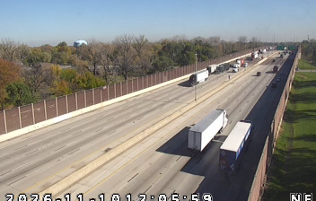


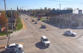

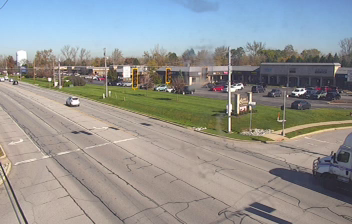
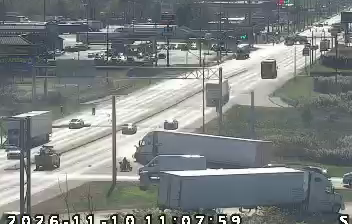

Hammond lies along the Grand Calumet River in northwestern Indiana, where the industrial Calumet corridor extends toward the southern shore of Lake Michigan. Part of the Chicago metropolitan area, it developed with the rail lines, steel mills and factories that transformed this corner of the Midwest. The city is home to the Hammond campus of Purdue University Northwest, while the Wolf Lake area preserves wetlands and open water near the Illinois border. Its urban grid, industrial legacy and proximity to the lake distinguish Hammond from Indiana’s inland cities. Discover other points of interest through webcams located across Hammond and northwestern Indiana.
4 webcams
Indiana’s terrain ranges from the sandy Lake Michigan shore and glaciated plains in the north to wooded, rolling hills in the south, creating a clear shift in character across the state. The Wabash River, Indiana’s state river, follows much of the western border before meeting the Ohio River. Indianapolis anchors the centre with the Indianapolis Motor Speedway, home of the Indianapolis 500, while smaller cities and farming communities reflect the importance of corn and soybean country. Indiana Dunes National Park adds beaches and dune formations to a state better known for its interior. Find related webcams in the surrounding area to build a fuller picture of Indiana.
353 webcams
The Atlantic, Pacific and Gulf coasts define much of the United States — their ports, fisheries and trade routes have long tied the country’s economy to the wider world. Between them, the Rocky Mountains, Great Plains and Mississippi River basin form sharply different regions, from high western ranges to broad agricultural heartlands. Cities carry much of the national story: New York’s Statue of Liberty, a gift from France dedicated in 1886, remains an enduring symbol, while Washington, DC concentrates major federal institutions. Indigenous nations have shaped these lands for millennia, and their living cultures remain essential to the country’s identity. Find related webcams in the surrounding areas to build a fuller picture of the United States.
32K webcams