 Hardscrabble: I-69: 1-069-214-4-1 SR 13
Hardscrabble is best known within Indiana for its position beside Interstate 69, a major route linking Indianapolis with communities in the state’s northeast. It occupies a low, open section of Indiana’s central glacial plain, where wide transport corridors meet fields, small woodlots and scattered commercial development. The area has the practical character of an outer metropolitan crossroads: freeway lanes, ramps and frontage businesses serve through traffic alongside everyday regional travel. Rather than a dense town centre, Hardscrabble is defined by the transition from Indianapolis-area growth to the agricultural land pattern of central Indiana. Interstate 69 continues toward Fort Wayne and the Michigan border, giving this modest locality a clear role in statewide mobility.
Generated by AI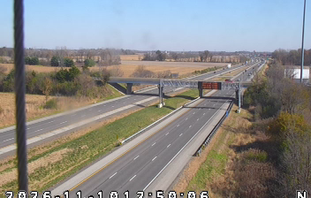
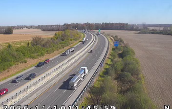
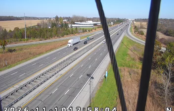
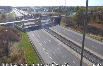

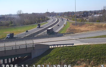

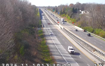


Hardscrabble is best known within Indiana for its rural setting along Fall Creek in Madison County’s Fall Creek Township. This unincorporated community lies in the agricultural heartland east of Indianapolis, where county roads, fields and wooded creek corridors shape the local setting. Its memorable name belongs to the patchwork of small named places that define much of rural Indiana rather than to a separate incorporated town. Fall Creek continues southwest toward Geist Reservoir, connecting the locality with a wider central-Indiana watershed. Move on to other webcams in Indiana to compare landscapes and settings around Hardscrabble and Fall Creek.
1 webcam
Indiana’s terrain ranges from the sandy Lake Michigan shore and glaciated plains in the north to wooded, rolling hills in the south, creating a clear shift in character across the state. The Wabash River, Indiana’s state river, follows much of the western border before meeting the Ohio River. Indianapolis anchors the centre with the Indianapolis Motor Speedway, home of the Indianapolis 500, while smaller cities and farming communities reflect the importance of corn and soybean country. Indiana Dunes National Park adds beaches and dune formations to a state better known for its interior. Find related webcams in the surrounding area to build a fuller picture of Indiana.
353 webcams
The Atlantic, Pacific and Gulf coasts define much of the United States — their ports, fisheries and trade routes have long tied the country’s economy to the wider world. Between them, the Rocky Mountains, Great Plains and Mississippi River basin form sharply different regions, from high western ranges to broad agricultural heartlands. Cities carry much of the national story: New York’s Statue of Liberty, a gift from France dedicated in 1886, remains an enduring symbol, while Washington, DC concentrates major federal institutions. Indigenous nations have shaped these lands for millennia, and their living cultures remain essential to the country’s identity. Find related webcams in the surrounding areas to build a fuller picture of the United States.
32K webcams