 Kahoku
Higashine is best known within Yamagata Prefecture for Sato Nishiki, a cherry cultivar developed here in 1928. The city stands on the broad Murayama Basin of northern Honshu, with the Mogami River crossing the plain to the west and the Ōu Mountains forming its eastern edge. Fruit orchards and rice fields remain central to local land use. The E13 Tōhoku-Chūō Expressway and Higashine Interchange link this agricultural area with the wider regional road network. Cherries are a defining part of Higashine’s identity and a major expression of Yamagata’s fruit-growing tradition, alongside a landscape shaped by cultivated fields, transport corridors and low basin horizons.
Generated by AI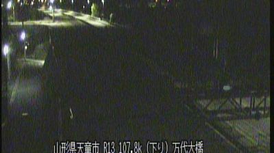
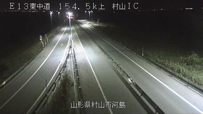
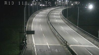
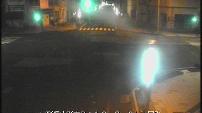
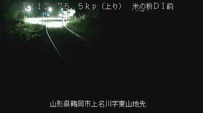
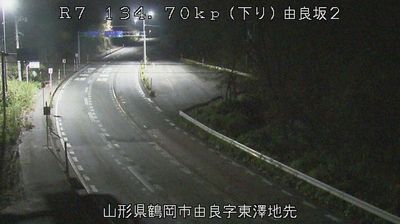

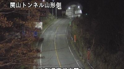


Kahoku combines the calm of an agricultural town with the legacy of a trading community in a way that reflects its position in the Mogami River basin of central Yamagata. The municipality occupies part of the broad Murayama Basin, where cultivated fields and low settlements spread beneath the distant Ōu Mountains. Safflower, once a valuable source of red dye, shaped local life during the Edo period: growers sent the crop down the Mogami River toward the port of Sakata and wider markets. That heritage remains present in local products and events. Kahoku is also associated with niku soba, cold buckwheat noodles served in chicken broth. Browse additional webcams from Yamagata Prefecture to extend your view of the Mogami River basin.
1 webcam
Yamagata Prefecture has served as an agricultural heartland within Japan’s Tōhoku region since the Edo period. Framed by the Ōu Mountains to the east and the Sea of Japan coast to the west, it is crossed by the Mogami River, whose valley has long linked inland basins with the port city of Sakata. Rice fields and orchards, particularly known for cherries, define much of its settled land. The three sacred peaks of Dewa Sanzan remain an important centre of Shugendō pilgrimage, while Yamadera, a Buddhist temple founded in 860, stands on a mountainside near Yamagata City. Trace Yamagata Prefecture’s place in the wider Tōhoku region by browsing webcams from nearby locations.
25 webcams
Among the countries of East Asia, Japan stands out for its volcanic archipelago, stretching from the cool north of Hokkaido to subtropical Okinawa. Mount Fuji, the nation’s highest mountain, rises above central Honshu, while the Pacific Ocean and the Seto Inland Sea have long shaped settlement, fishing and travel. Tokyo pairs dense urban life with major museums and neighbourhood traditions; Kyoto preserves temples, gardens and the legacy of Japan’s imperial court. Seasonal customs give journeys a changing rhythm, from spring cherry blossom viewing to autumn leaves. Regional cooking is equally varied, with sushi, ramen and local specialties reflecting coastlines, climate and agriculture. Explore nearby webcam locations that provide complementary perspectives on Japan’s islands, cities and mountain regions.
1.3K webcams