 Madibeng Local Municipality
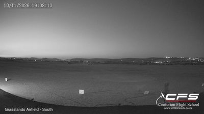
Brits Airfield sits in the Bushveld of South Africa’s North West province, where the Magaliesberg range rises south of Brits. Known by the ICAO code FABS, the airfield serves the town of Brits in Madibeng Local Municipality, an area of open farmland and mining activity between Pretoria and the Pilanesberg. Brits developed in the early 20th century as a farming settlement and remains associated with irrigated land in the Crocodile River valley. The wider district is also linked to Hartbeespoort Dam, built across the Crocodile River in the Magaliesberg foothills. Airfield activity here belongs to a working inland landscape rather than a dense urban setting.
Generated by AI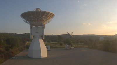

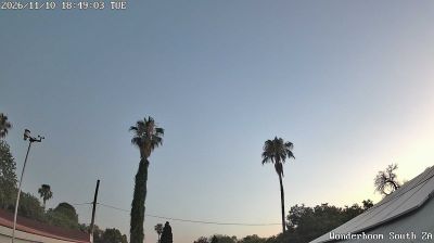
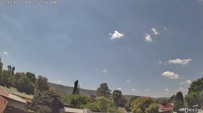
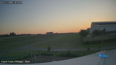

The landscape around Madibeng Local Municipality is a broad mix of bushveld, grassland and farmland on South Africa’s interior plateau, which has shaped both dispersed settlement and an economy linked to agriculture, mining and services. In North West’s Bojanala Platinum District, the municipality extends south towards the Magaliesberg, while Hartbeespoort Dam on the Crocodile River is among its best-known recreational areas. Madibeng is a Setswana name meaning “place of water”, an apt reference in an area associated with dams, rivers and irrigated land. Brits serves as the municipal seat and a regional service centre. Move on to other webcams in North West to compare bushveld plains and Magaliesberg settings around Madibeng.
1 webcam
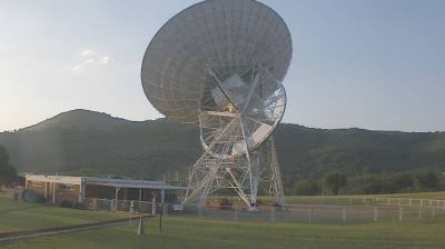
North West occupies an inland plateau in South Africa. Broad grasslands and farming districts extend west towards the Kalahari, while the Vaal River marks much of the province’s southern boundary. In the east, the Magaliesberg and the Pilanesberg volcanic complex bring more rugged relief; Pilanesberg National Park is among the province’s key protected areas. Mahikeng, the provincial capital, is known for the Siege of Mafeking during the South African War. Near Taung, the 1924 discovery of the Taung Child became a landmark in the study of human origins. Continue through nearby webcams to explore different parts of North West.
3 webcams
The terrain of South Africa ranges from coastal lowlands along the Indian Ocean in the east to high inland plateaus across the centre, producing marked regional climate contrasts. The Drakensberg forms a rugged eastern escarpment, while Atlantic and Indian Ocean shores frame cities including Cape Town and Durban. Table Mountain stands above Cape Town, and the Cape Floristic Region is internationally noted for its exceptional plant diversity. South Africa’s modern identity is inseparable from apartheid and the democratic transition of 1994, a history explored at Johannesburg’s Apartheid Museum. Twelve official languages reflect the country’s diverse communities. Continue through nearby webcams to explore different parts of South Africa.
60 webcams