 District of Levoča
Levočská Dolina combines wooded mountain slopes with open ski runs in a way that reflects its position in the Levočské vrchy. This recreation area lies above the historic town of Levoča in northeastern Slovakia, where rolling uplands form part of the wider Carpathian landscape. Cleared runs and service roads contrast with the surrounding mixed forest, giving the area a distinctly upland character. Levoča is known for its UNESCO-listed historic centre and the Basilica of St James, whose main altar was carved by Master Paul of Levoča. The valley links an outdoor-sports setting with one of the Spiš region’s important medieval towns.
Generated by AI


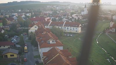

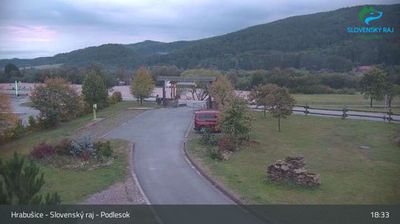


Tucked between the Levočské vrchy mountains and the Spiš Basin, the District of Levoča is an area whose character is shaped by forested uplands and the historic settlement pattern of Spiš. Its centre, Levoča, preserves a walled medieval core that forms part of the UNESCO-listed site of Levoča, Spišský Hrad and associated cultural monuments. St James’s Church holds the monumental late-Gothic wooden altar created by Master Paul of Levoča, a defining work of Slovak medieval art. Beyond the town, roads lead through rolling farmland and villages beneath the slopes of the Levočské vrchy. Continue with other webcams from the area to see how this part of the Spiš region connects regionally.
2 webcams
Carpathian ranges and river-cut valleys define much of the Prešov Region – forests, pastureland and upland settlements shape forestry, farming and outdoor tourism. In northeastern Slovakia, the region extends from the High Tatras towards the Pieniny on the Polish border, with the Poprad, Hornád, Torysa and Ondava among its important waterways. Its cultural heritage is equally distinctive: Bardejov’s medieval centre is a UNESCO World Heritage Site, while Spiš Castle recalls the historical importance of the Spiš area. Several UNESCO-listed wooden churches of the Slovak Carpathians also stand here. Explore related webcams around the Prešov Region for a broader impression of this part of Slovakia.
64 webcams
Slovakia is best known internationally for the High Tatras, whose granite summits form the country’s most celebrated mountain landscape. Gerlachovský štít, at 2,655 metres, is the highest peak in Slovakia and in the Carpathians. The Danube runs past Bratislava, where Bratislava Castle stands on a hill above the river, linking the capital to Central Europe’s major waterway. Beyond the cities, forests, karst terrain and small historic towns define much of the country. Slovakia’s long folk tradition is also represented by the fujara, a large shepherd’s flute recognised by UNESCO. Browse additional webcams from the surrounding area to extend your view of the High Tatras and the Danube region.
282 webcams