 Wonju
Within the cities of Gangwon State, Wonju-si is distinguished by its role as the province’s leading inland urban centre. The city spreads across a basin near the Seom River, while the wooded ridges of Chiaksan National Park rise to the east. Wonju has long been a regional crossroads, and its road and rail links connect Gangwon with the Seoul metropolitan area and central Korea. Its urban fabric combines multi-lane boulevards, housing districts, universities and business areas, rather than the coastal character associated with much of the province. Cultural life includes the annual Wonju Hanji Festival, dedicated to hanji, Korea’s traditional handmade paper.
Generated by AI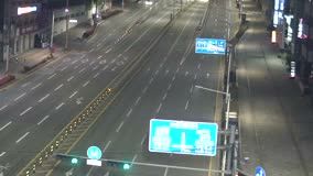
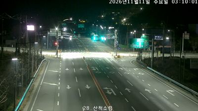
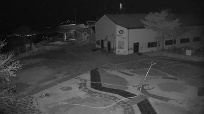




Few cities in Gangwon-do have a history as closely tied to provincial administration as Wonju-si. Long before Chuncheon became the provincial capital, Wonju served as Gangwon Province’s administrative centre, a role that established it as an important inland regional city. The Seomgang River passes through the wider urban basin, while Chiaksan National Park rises to the east, giving the area a strongly mountainous character. Wonju is also associated with hanji, Korea’s traditional mulberry-paper craft, celebrated at the Wonju Hanji Festival. Museum SAN, designed by Japanese architect Tadao Ando, is a notable contemporary cultural destination. View additional webcams nearby to better understand how Wonju-si relates to the Seomgang valley and central Gangwon-do.
2 webcams
Built around the Taebaek Mountains and the upper Han River basin, Gangwon-do grew into South Korea’s broad northeastern province, extending from inland valleys to the East Sea coast. Chuncheon, the provincial capital, lies among lakes and waterways in the west, while the eastern districts meet the sea. Seoraksan National Park gives the region a strongly mountainous character, and winter sports remain an important part of its identity. PyeongChang hosted the 2018 Winter Olympics, bringing worldwide attention to Gangwon-do’s snowy uplands. Buckwheat dishes and fresh coastal seafood also feature prominently in local food traditions. See how Gangwon-do connects with the wider Korean Peninsula by browsing webcams in neighbouring areas.
14 webcams
South Korea stretches from the mountainous border with North Korea to Jeju Island, encompassing forested ranges, fertile river basins and a deeply indented southern coast. The Taebaek Mountains run along much of the east, while the Han River crosses Seoul before reaching the Yellow Sea. Busan faces the Korea Strait, and tidal flats and islands shape the country’s western shore. Seoul combines dense contemporary districts with royal Joseon sites, including Gyeongbokgung Palace, first built in 1395. Kimchi and bibimbap are central to everyday cuisine, while the Korean alphabet, Hangeul, was created in the 15th century. Find related webcams in the surrounding area to build a fuller picture of South Korea’s coasts, mountains and cities.
164 webcams