 Trengereid
 straddles a narrow strip between Sørfjorden and steep hillsides in Vestland, a setting that has concentrated homes, transport and industry close to the water. East of Bergen, the E16 runs through the settlement on its route towards Voss and Oslo, while the Bergen Line also follows this fjord district. Sørfjorden forms part of the Osterfjorden system, a network of long inlets reaching inland from Norway’s west coast. Trengereid Fabrikker, founded in 1895, established textile production here and helped shape the community’s industrial identity. Wooded slopes and scattered houses still underline how tightly Trengereid fits the fjord shore.
Generated by AI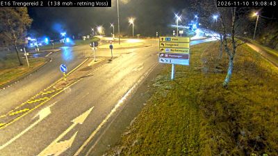
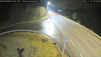
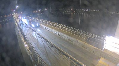
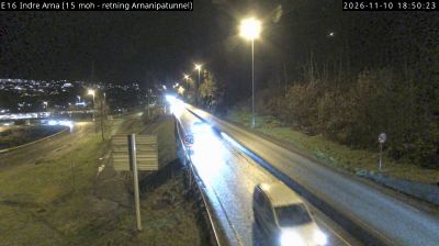


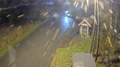
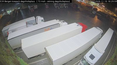

Trengereid lies along Sørfjorden, where steep slopes rise directly from the narrow fjord arm between Osterøy and the mainland east of Bergen. The settlement occupies a slim strip between water and hillside, in a corridor where routes must closely follow the terrain. European route E16 and the Bergen Line pass through this part of Vestland, linking Bergen with inland communities; the railway forms part of the historic Oslo–Bergen route opened in 1909. Sørfjorden continues north towards the Osterfjorden system, while nearby tunnels underline the demanding local topography. Trengereid helps explain the close relationship between fjord settlements, island communities and the Bergen area. Continue with other webcams from the area to see how this part of Vestland connects regionally.
1 webcam
Among the regions of Norway, Vestland stands out for fjords that cut deep into a coast backed by high mountains. Sognefjord, Norway’s longest and deepest fjord, reaches far inland, while Hardangerfjord is closely associated with orchards and spring blossom. The county extends from wave-battered islands and sheltered coastal communities to valleys, waterfalls and upland terrain. Bergen, Vestland’s largest city, developed as a Hanseatic trading centre; its wooden Bryggen wharf is a UNESCO World Heritage site. Maritime life, mountain routes and farming communities meet here. Browse other webcams across Vestland to place this fjord country in a wider geographic context.
234 webcams
Norway has served as a seafaring link between the North Atlantic and northern Europe since the Viking Age. Its long coastline is cut by fjords, while the Lofoten archipelago rises sharply from the Norwegian Sea and the mountains of Jotunheimen include Galdhøpiggen, Norway’s highest peak. Bergen’s Bryggen, the former Hanseatic wharf, recalls centuries of maritime trade. Farther north, Sámi culture remains an essential part of the country’s identity. Explore nearby webcam locations that provide complementary perspectives on Norway’s coast, fjords and mountain regions.
1.5K webcams