 Sao Vicente
São Vicente lies along the Ribeira de São Vicente valley, where steep volcanic mountains descend towards Madeira’s Atlantic north coast. The settlement spreads between terraced ground and closely grouped homes, with streets shaped by a narrow valley rather than a broad coastal plain. Madeira’s volcanic origins are especially tangible at the São Vicente Caves, a system of lava tubes formed by ancient eruptions and opened to the public in 1996. The parish is part of the island’s agricultural north coast, where vines have long been cultivated on small plots.
Generated by AI


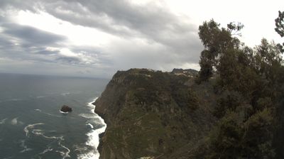
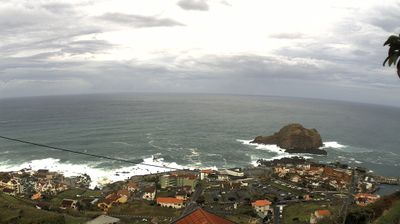
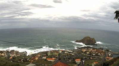
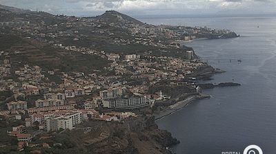

Built around the valley of the Ribeira de São Vicente, São Vicente grew into a north-coast settlement shaped by Madeira’s steep volcanic terrain. The stream descends from the island’s high interior before reaching the Atlantic beside the parish. São Vicente is known for the Grutas de São Vicente, a network of lava tubes that records Madeira’s volcanic origins, while vineyards on the surrounding slopes continue the island’s long-established wine-growing tradition. Its compact centre and agricultural valley sit apart from the busier south coast, with mountain roads linking it to the interior. View additional webcams nearby to better understand how São Vicente and Madeira’s north coast relate to their Atlantic and mountain surroundings.
2 webcams
Among Portugal’s regions, Madeira stands out for its steep volcanic relief rising directly from the Atlantic Ocean. The autonomous archipelago lies southwest of mainland Portugal; its main island is shaped by deep valleys, rugged headlands and a high central spine. Laurisilva forest, protected as a UNESCO World Heritage site, survives on humid slopes, while the island’s levadas carry water through mountainside terrain. Funchal, the capital, is closely associated with Madeira wine, whose production helped connect the island to Atlantic trade. Continue with other webcams from Madeira to see how this Atlantic part of Portugal connects regionally.
18 webcams
Portugal has served as an Atlantic maritime link between Europe, Africa and the Americas since the 15th century. The Atlantic shapes its western and southern shores, while the Douro crosses northern wine country on its way to Porto and the Tagus meets the sea in Lisbon. Belém Tower and the Jerónimos Monastery recall the seaborne expansion of the Portuguese crown, and their Manueline stonework remains a defining feature of the capital. Beyond the cities, the Algarve is known for beaches and limestone cliffs, while Serra da Estrela introduces a highland counterpoint inland. Azulejo tiles, fado and Port wine are enduring elements of Portuguese culture. Find related webcams in the surrounding area to build a fuller picture of Portugal’s Atlantic coast and interior.
176 webcams