 Kløfta
Few places in Romerike have a history as closely tied to transport links as Klofta. The settlement in Ullensaker municipality stands on cultivated lowlands north of Oslo, beside the E6 corridor towards Oslo Airport at Gardermoen and the rest of eastern Norway. Klofta developed around the Hoved Line, Norway’s first railway, opened in 1854 between Christiania—now Oslo—and Eidsvoll; its station remains on the route. The Leira runs through Ullensaker before joining the Nitelva, while fields, woodland and newer housing form Klofta’s setting. This is a practical local centre within the Oslo region, shaped by commuting, road traffic and a long agricultural tradition.
Generated by AI
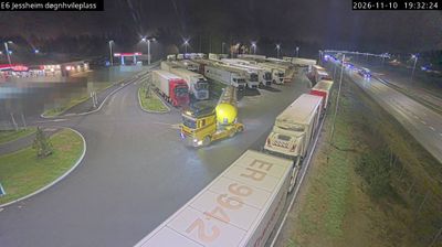
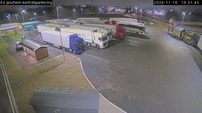
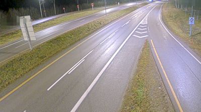
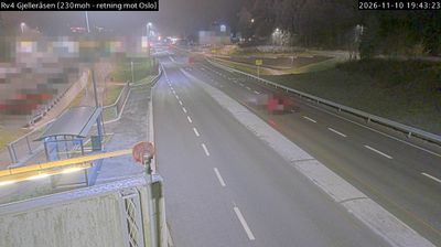
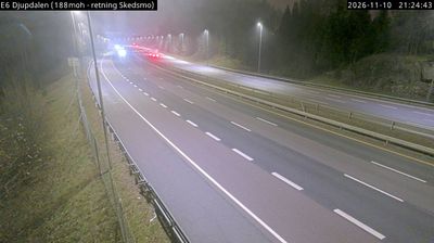

Klofta has served as a railway settlement in Ullensaker municipality since the mid-19th century. The locality developed around Klofta station on the Hoved Line, Norway’s first railway, which opened in 1854 between Oslo and Eidsvoll. It stands on the broad, cultivated plain of Romerike, while the Leira river runs through the surrounding lowland before joining the Nitelva farther south. Klofta’s position near Oslo Airport Gardermoen and the E6 places it within one of the capital region’s main transport corridors, yet farms and woodland still shape the municipality. Find related webcams in the surrounding Ullensaker area to build a fuller picture of Romerike.
1 webcam
The terrain of Akershus ranges from cultivated lowlands beside the Oslofjord in the west to forested hills and river valleys in the east and north, giving the county both coastal and inland character. Encircling much of Oslo, it links the capital with farmland, woodland and growing towns. The Glomma, Norway’s longest river, runs along parts of Akershus’s eastern side. At Eidsvoll, the Norwegian Constitution was adopted in 1814, a defining moment in the country’s modern history. Explore nearby webcam locations that provide complementary perspectives on Akershus.
55 webcams
Norway has served as a seafaring link between the North Atlantic and northern Europe since the Viking Age. Its long coastline is cut by fjords, while the Lofoten archipelago rises sharply from the Norwegian Sea and the mountains of Jotunheimen include Galdhøpiggen, Norway’s highest peak. Bergen’s Bryggen, the former Hanseatic wharf, recalls centuries of maritime trade. Farther north, Sámi culture remains an essential part of the country’s identity. Explore nearby webcam locations that provide complementary perspectives on Norway’s coast, fjords and mountain regions.
1.5K webcams