 Mary Ellen: SR-48 at Dwire Rd, 4401
Mary Ellen has served as a rural crossroads in Warren County since the nineteenth century. The community lies along Ohio State Route 48, a north–south road through the rolling outer-Cincinnati landscape, where residential development meets older agricultural land. DeWire Road is one of the local junctions on this corridor. The Little Miami River runs through Warren County east of Cincinnati, and its former railway alignment is preserved as the Little Miami Scenic Trail, a long-distance walking and cycling route. Nearby Lebanon, the county seat, retains a nineteenth-century downtown and is home to the Harmon Museum of the Warren County Historical Society. Mary Ellen remains a small-scale counterpoint to the denser suburbs around Mason and Cincinnati.
Generated by AI
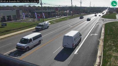



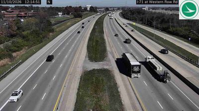
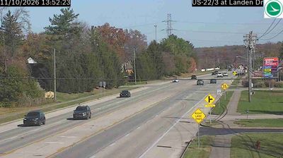
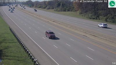

Mary Ellen sits in the Little Miami River corridor of southwestern Ohio, a position that places this small locality within the broad valley landscape of Warren County. The area belongs to the Cincinnati–Dayton urban belt, yet the river valley still brings wooded banks and farmland into the regional setting. The Little Miami Scenic Trail follows a former railroad corridor through nearby South Lebanon, linking communities along the river. In Lebanon, the Warren County seat, the Golden Lamb Inn has welcomed guests since 1803. Find related webcams around the Little Miami Valley to build a fuller picture of southwestern Ohio.
1 webcam
Built around the Ohio River corridor and Lake Erie trade routes, Ohio grew into a major state of the American Midwest. Its terrain extends from the Appalachian foothills in the southeast across fertile central plains to Lake Erie’s northern shore, while the Cuyahoga River passes through Cleveland before entering the lake. Columbus, the state capital, stands near the centre of the state. Cincinnati developed along the Ohio River, and Cleveland’s Rock and Roll Hall of Fame marks the city’s place in American music. Dayton is closely linked with the Wright brothers and the early history of powered flight. Browse additional webcams from the surrounding area to extend your view of Ohio.
1.1K webcams
The Atlantic, Pacific and Gulf coasts define much of the United States — their ports, fisheries and trade routes have long tied the country’s economy to the wider world. Between them, the Rocky Mountains, Great Plains and Mississippi River basin form sharply different regions, from high western ranges to broad agricultural heartlands. Cities carry much of the national story: New York’s Statue of Liberty, a gift from France dedicated in 1886, remains an enduring symbol, while Washington, DC concentrates major federal institutions. Indigenous nations have shaped these lands for millennia, and their living cultures remain essential to the country’s identity. Find related webcams in the surrounding areas to build a fuller picture of the United States.
32K webcams