 Hastings: Hastings Boat Ramp - Western Port Bay Trail - Western Port Bay
Hastings has served as a port on Victoria’s Western Port since the late 19th century. On the bay’s north-western shore, the town faces a broad tidal waterway shaped by channels, mudflats and the islands of Western Port, including French Island. Hastings Boat Ramp forms part of a practical working foreshore, where recreational boating sits alongside maritime activity associated with the Port of Hastings. The Western Port Bay Trail follows this low-lying coastal setting beside the bay. Hastings combines a long-established port role with access to one of Victoria’s distinctive enclosed bays, used for boating, fishing and coastal walks.
Generated by AI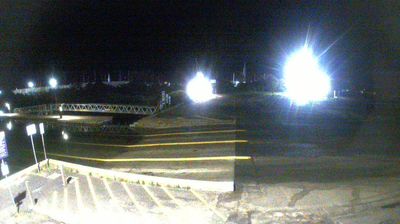

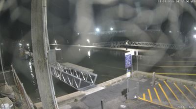

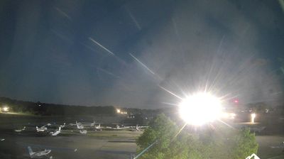

Hastings combines a working waterfront with a relaxed bayside setting in a way that reflects its position on Western Port, on Victoria’s Mornington Peninsula. The town sits beside the sheltered bay and its internationally recognised Ramsar wetlands, while the port and marina underline the area’s continuing links with maritime industry and recreational boating. Hastings Foreshore is a local meeting point for walks, picnics and water access, and nearby Warringine Park protects coastal bushland and wetland habitat. The wider peninsula adds beaches, wineries and small coastal communities to the surrounding area. See how Hastings fits within the broader Western Port area by browsing webcams nearby.
7 webcams
Among Australia’s regions, Victoria stands out for the remarkable variety packed between the Murray River and Bass Strait. The state combines fertile northern plains, the Central Victorian Goldfields, the forested Great Dividing Range and a long southern coast. Bendigo and Ballarat grew rapidly during the gold rushes of the 1850s, while Melbourne developed into Victoria’s cultural and economic centre. Along the southwest, the Great Ocean Road follows a dramatic stretch of coastline, contrasting with the farmland and river country inland. See how Victoria belongs within southeastern Australia by browsing webcams across the region.
326 webcams
Australia’s terrain extends from tropical rainforests in the northeast to arid plains in the interior, producing dramatic climatic contrasts. The Great Dividing Range follows much of the eastern coast, while the Great Barrier Reef lies off Queensland in the Coral Sea and Uluru rises from the central desert. Aboriginal and Torres Strait Islander peoples maintain living cultures whose connections to Country long predate European settlement. In Sydney, the sail-like Opera House, completed in 1973, stands beside one of the world’s best-known harbours. Discover further points of interest through webcams located across Australia.
1.7K webcams