 Bua: Lerbomotet
Built around scattered farms in Bohuslän’s inland, Bua grew into a small rural locality beside the E6 motorway. Cultivated fields, grassland and wooded rises shape its setting, while the Lerbomotet interchange links the national route with local roads. The E6 is Sweden’s principal north–south highway along the west coast, giving this lightly settled area an important transport role. Bohuslän belonged to Norway until it was transferred to Sweden under the 1658 Treaty of Roskilde. The road corridor contrasts with the surrounding agricultural land, and the province extends westward to the Skagerrak, the strait between Sweden, Norway and Denmark.
Generated by AI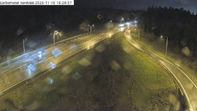
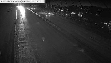

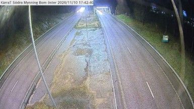
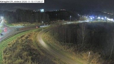
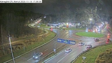
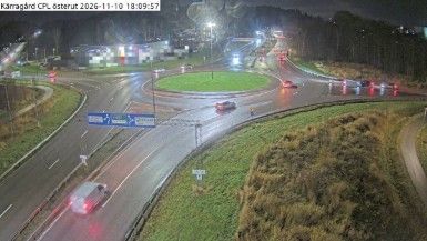

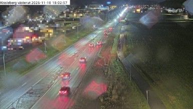

Built around a sheltered harbour on the Kattegat coast, Bua grew into a fishing community in Varberg Municipality. The sea remains the settlement’s defining geography: its harbour serves fishing boats and leisure craft, while the open Kattegat connects this stretch of Swedish coast with Denmark across the water. South of Bua, on the Värö Peninsula, the Ringhals nuclear power plant forms a major modern landmark in an area still closely associated with maritime work. Continue with other webcams from the area to see how this part of Västra Götaland County connects regionally.
2 webcams
Västra Götaland County has served as an administrative region within Sweden since 1998. It brings together the historic provinces of Västergötland, Bohuslän and Dalsland, extending from the Skagerrak coast to the shores of Lake Vänern, Sweden’s largest lake. Gothenburg, Sweden’s second-largest city, is its urban centre and a major port on the Göta älv. Along the coast, the Bohuslän archipelago is defined by granite islands and fishing communities, while inland waterways around Trollhättan connect Vänern with the west coast. Läckö Castle, on the shore of Vänern, recalls the region’s early-modern aristocratic past. Trace Västra Götaland County’s place in western Sweden by browsing webcams across the region.
401 webcams
Sweden combines Baltic coastal life with Arctic expanses in a way that reflects its position within northern Europe. Forests, lakes and long shorelines define much of the country, from Lake Vänern in the south to the Gulf of Bothnia and the mountains along the Norwegian border. Stockholm spreads across islands where Lake Mälaren meets the Baltic Sea, while the preserved 17th-century warship at the Vasa Museum recalls Sweden’s era as a major European power. Midsummer celebrations and the traditions of the Sámi people add further depth to its regional identity. Browse other webcams across Sweden to place this setting in a wider geographic context.
990 webcams