 Zihlschlacht-Sitterdorf: Erlebnisflugplatz Sitterdorf
Zihlschlacht-Sitterdorf has served as an agricultural municipality in Thurgau since the 1997 merger of Zihlschlacht and Sitterdorf. Set on the gently rolling Swiss Plateau near the Sitter, it is a working rural community of fields, farm buildings and small settlements rather than a resort centre. Flugplatz Sitterdorf gives the area a distinct aviation role, with its runway and hangars set directly among open farmland. The municipality lies in eastern Switzerland between St. Gallen and the Thur valley, where dairy farming and orchards have long shaped the countryside. Its two former village names remain central to local identity, while the airfield adds a practical connection to regional aviation.
Generated by AI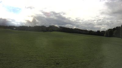

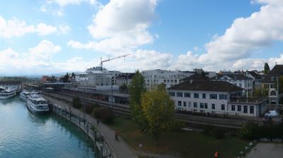
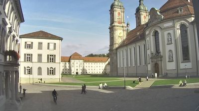
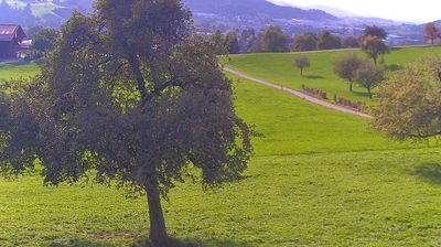
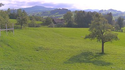

The landscape around Zihlschlacht-Sitterdorf is gently rolling farmland on the Thurgau plateau, which has shaped both the dispersed settlement pattern and local agriculture. The municipality lies near the Sitter River, in northeastern Switzerland between the lowlands of Thurgau and the Appenzell foothills. Zihlschlacht-Sitterdorf was created in 1997 through the merger of the former municipalities of Zihlschlacht and Sitterdorf, a reminder that its identity is shared between two long-established communities. Zihlschlacht is also known in Switzerland for its neurological rehabilitation clinic, while the surrounding countryside remains defined by fields, orchards and small roads rather than urban density. Browse related webcams across Thurgau and the Sitter valley to gain a broader sense of this corner of northeastern Switzerland.
1 webcam
Among Switzerland’s cantons, Thurgau stands out for its orchard country between Lake Constance and the Rhine. In the northeast of Switzerland, the canton extends from the cultivated shore of Untersee—the western arm of Lake Constance—to the river that forms much of its frontier with Germany. Apples and cider remain central to its rural identity, with orchards woven through farms and small towns. Frauenfeld, the cantonal capital, is known for its castle; on the lakeside, Arenenberg recalls the childhood of Napoleon III. Walking and cycling routes link vineyards, waterside settlements and open farmland. Explore other webcams in Thurgau to compare landscapes and settings around Lake Constance and the Rhine.
17 webcams
Switzerland stretches from the Jura Mountains in the northwest to the Alps in the south, encompassing a central plateau of cities, farms and lakes. The Rhine rises in the Swiss Alps, while Lake Geneva forms part of the country’s southwestern border. Zürich, Geneva and Basel are major urban centres, yet mountain railways and passes remain central to how many regions are experienced. Four national languages—German, French, Italian and Romansh—reflect Switzerland’s distinct cantonal identities. The Matterhorn above Zermatt is among Europe’s most recognisable peaks, and the 1291 Federal Charter is closely associated with the country’s founding tradition. Continue through nearby webcams to explore different parts of Switzerland.
996 webcams