 Stellenbosch Local Municipality: Stellenbosch Ward 19: Le Grand Domaine - Stellenbosch
Stellenbosch Local Municipality sits in the Cape Winelands of South Africa’s Western Cape, where cultivated hills meet the foothills of the Cape Fold Mountains. Its municipal seat, Stellenbosch, was founded in 1679 beside the Eerste River and is recognised for oak-lined streets, Cape Dutch buildings and Stellenbosch University. Winegrowing shapes much of the surrounding countryside; the Stellenbosch Wine Routes, created in 1971, were South Africa’s first organised wine route. Farms, cellar doors and rural roads extend beyond the university town into a working agricultural district, while the mountains give the wider area a strongly defined horizon.
Generated by AI

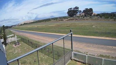
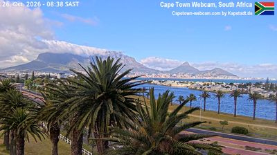
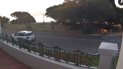


Tucked between the Eerste River valley and the Stellenbosch Mountains in the Cape Winelands, Stellenbosch Local Municipality is a place whose character is shaped by Mediterranean conditions and long-established viticulture. Its territory includes Stellenbosch, a university town where oak-lined streets and Cape Dutch architecture sit alongside working wine estates. Stellenbosch University, founded in 1918, remains central to the town’s intellectual and cultural life. Vineyards spread across valleys and lower slopes, while the surrounding mountains mark the transition from the Cape Town metropolitan area to the inland winelands. Trace how Stellenbosch Local Municipality belongs to the broader Cape Winelands by browsing webcams nearby.
1 webcam
Western Cape occupies South Africa’s south-western coastal belt and adjoining mountain valleys. At these coordinates, the interior lies in the Breede River valley, where the Cape Fold Mountains frame vineyards, orchards and farming towns. The province extends from the Atlantic coast around Cape Town towards the Indian Ocean shoreline of the Garden Route, encompassing sharply contrasting climates and terrain. Table Mountain is its defining landmark, while the wine districts of Stellenbosch, Paarl and Robertson sustain a long-established Cape wine tradition. Its identity also reflects the heritage of the Cape’s Indigenous Khoisan peoples, Dutch colonial settlement and modern South Africa’s diverse communities. See how the Breede River valley connects with the wider Western Cape by browsing nearby webcams.
16 webcams
The terrain of South Africa ranges from coastal lowlands along the Indian Ocean in the east to high inland plateaus across the centre, producing marked regional climate contrasts. The Drakensberg forms a rugged eastern escarpment, while Atlantic and Indian Ocean shores frame cities including Cape Town and Durban. Table Mountain stands above Cape Town, and the Cape Floristic Region is internationally noted for its exceptional plant diversity. South Africa’s modern identity is inseparable from apartheid and the democratic transition of 1994, a history explored at Johannesburg’s Apartheid Museum. Twelve official languages reflect the country’s diverse communities. Continue through nearby webcams to explore different parts of South Africa.
60 webcams