 Naters: Belalp Hohbiel
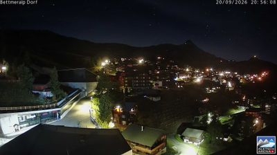
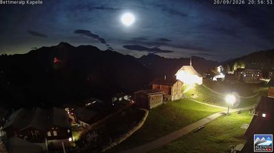
Built around alpine pastureland, Belalp Hohbiel grew into a lift-served upper sector of the Belalp mountain area. Above Naters in Valais, it lies in the Pennine Alps, where broad grazing ground gives way to steeper high-mountain terrain. Belalp stands above the Great Aletsch Glacier, the largest glacier in the Alps and a central feature of the Swiss Alps Jungfrau-Aletsch UNESCO World Heritage area. Hohbiel forms part of Belalp’s skiing and hiking infrastructure, with lifts and mountain buildings spread across open slopes. Alpine pasture farming remains an important part of Valais culture, linking these high slopes with communities in the Rhône valley below.
Generated by AI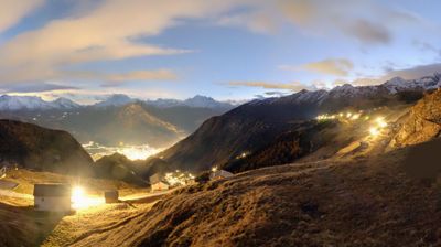
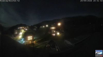
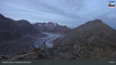
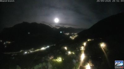

Tucked along the upper Rhône valley in Valais, Naters is a place whose character is shaped by its position on the valley floor below Alpine routes leading towards the Aletsch region. The municipality forms a close urban pair with Brig across the Rhône, while the surrounding mountains channel major rail and road connections through southern Switzerland. Naters is home to the World Nature Forum, the visitor centre for the UNESCO-listed Swiss Alps Jungfrau-Aletsch World Heritage site; its exhibitions put the nearby high-Alpine environment into a wider context. Explore additional webcams nearby to better understand how Naters and the upper Rhône valley relate to the surrounding Alpine slopes.
3 webcams
Valais combines high-alpine terrain with vineyard-lined valley life in a way that reflects its position between the Rhône Valley and the Pennine Alps. These coordinates lie in the Val d’Anniviers, a side valley where the Navizence flows north towards the Rhône and long-settled communities occupy slopes beneath high peaks. Across the canton, mountain pastures, glaciers and celebrated summits shape daily life as much as the broad, productive valley floor. Valais is also Switzerland’s leading wine-producing canton, and its historic bisses—open irrigation channels—show how generations adapted dry sunny slopes for cultivation. Browse additional webcams from the surrounding area to extend your view of Valais.
242 webcams
Switzerland stretches from the Jura Mountains in the northwest to the Alps in the south, encompassing a central plateau of cities, farms and lakes. The Rhine rises in the Swiss Alps, while Lake Geneva forms part of the country’s southwestern border. Zürich, Geneva and Basel are major urban centres, yet mountain railways and passes remain central to how many regions are experienced. Four national languages—German, French, Italian and Romansh—reflect Switzerland’s distinct cantonal identities. The Matterhorn above Zermatt is among Europe’s most recognisable peaks, and the 1291 Federal Charter is closely associated with the country’s founding tradition. Continue through nearby webcams to explore different parts of Switzerland.
1.5K webcams