 Laax: Nagens: Berghaus Nagens - Crap Sogn Gion
Berghaus Nagens is best known within Grisons for its mountain restaurant in the LAAX ski area. It stands in the Nagens sector above Laax, amid the Swiss Alps and high above the upper Vorderrhein valley. Nearby Crap Sogn Gion is one of LAAX’s principal mountain hubs, linking lift-served terrain across the resort. Broad open slopes and extensive lift infrastructure reflect the area’s focus on winter sports and freeride riding. LAAX has gained an international profile through the LAAX Open, a major annual freestyle snowboarding competition. Romansh place names, including Crap Sogn Gion, also point to the local language tradition of this part of Graubünden.
Generated by AI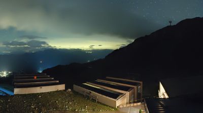
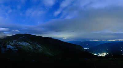

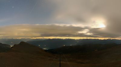


Laax is best known within Switzerland for its place in the Flims Laax Falera ski area, one of the country’s major Alpine winter-sports destinations. The village occupies a terrace above the Vorderrhein valley in Grisons, with Lake Laax, or Laaxersee, near its centre and the slopes of Crap Sogn Gion rising above the resort. This part of Surselva has long been shaped by Romansh culture, and Romansh place names remain a notable feature of the local map. In summer, the same terrain supports walking and mountain biking, while the lake provides a quieter focal point for the village. Browse other webcams across Grisons to place Laax in a wider Alpine context.
6 webcams
The terrain of Grisons ranges from high Alpine valleys in the south to the broad Rhine valley in the north, shaping Switzerland’s largest and most linguistically diverse canton. The Inn flows through the Engadin, while the Rhine has long connected Chur, the cantonal capital, with the rest of central Europe. Romansh remains a defining regional language alongside German and Italian. The Rhaetian Railway’s Albula and Bernina lines, recognised by UNESCO, cross dramatic mountain country with remarkable engineering. Browse further webcams from the area to trace how this corner of eastern Switzerland links with neighbouring Alpine regions.
259 webcams
Switzerland stretches from the Jura Mountains in the northwest to the Alps in the south, encompassing a central plateau of cities, farms and lakes. The Rhine rises in the Swiss Alps, while Lake Geneva forms part of the country’s southwestern border. Zürich, Geneva and Basel are major urban centres, yet mountain railways and passes remain central to how many regions are experienced. Four national languages—German, French, Italian and Romansh—reflect Switzerland’s distinct cantonal identities. The Matterhorn above Zermatt is among Europe’s most recognisable peaks, and the 1291 Federal Charter is closely associated with the country’s founding tradition. Continue through nearby webcams to explore different parts of Switzerland.
1.5K webcams