 Lubnow
Lubnów sits in Lower Silesia in south-western Poland, where a small settlement lies in the rural belt north-west of Wrocław. It forms part of Lower Silesian Voivodeship, a region whose present-day Polish character developed in an area long shaped by shifting Central European borders. Lubnów is not an urban centre but a locality of modest village scale, with treed edges and open surroundings typical of the countryside beyond the regional capital. Wrocław lies to the south-east and is the voivodeship’s main cultural and administrative centre. Lubnów, by contrast, represents the quieter residential side of Lower Silesia, away from the dense streets and major institutions of the city.
Generated by AI


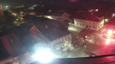


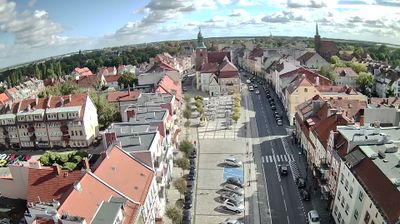

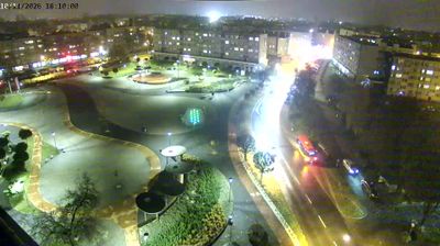

The terrain around Lubnow is lowland farmland, which has influenced both local settlement and the rural economy. This small locality lies northwest of Wrocław in Lower Silesian Voivodeship, where fields and woodland meet the broader Oder valley landscape. Its identity is rooted in the everyday fabric of rural Lower Silesia rather than major monuments. Across the region, architecture and place names reflect a layered past shaped by Bohemian, Habsburg, German and Polish rule. Browse other webcams across Lower Silesian Voivodeship to place this setting in a wider geographic context.
1 webcam
Among the regions of Poland, Lower Silesian Voivodeship stands out for the meeting of the Sudetes, the Oder valley and historic Wrocław. Its southern edge reaches the Karkonosze range, where Śnieżka rises as the highest peak of the Sudetes, while broad lowlands and river corridors shape the north. Wrocław is the regional centre, known for its Market Square, the cathedral district of Ostrów Tumski and the UNESCO-listed Centennial Hall. Further west, Książ Castle near Wałbrzych recalls the area’s long Silesian past. Browse additional webcams around the region to extend your view of Lower Silesia.
74 webcams
Poland stretches from the Baltic Sea coast in the north to the Carpathian Mountains along its southern frontier, encompassing broad lowlands, lake districts and upland ranges. The Vistula, the country’s longest river, links Kraków and Warsaw before reaching the Baltic near Gdańsk, while the Masurian Lake District is defined by a dense network of lakes. Kraków’s historic centre, including Wawel Castle, recalls Poland’s former royal capital; Warsaw’s rebuilt Old Town speaks to the city’s recovery after the Second World War. The Białowieża Forest preserves one of Europe’s last primeval lowland forests and is home to European bison. Follow how Poland’s regions relate to one another by browsing webcams across the country.
717 webcams