 Gliwice
The landscape around Gliwice is largely flat, with industrial districts and open urban edges, which has shaped both the built environment and local life. Gliwice Airport lies on this southwestern fringe as a small civil airfield for general aviation, flying clubs and training rather than scheduled airline traffic. The city belongs to the Upper Silesian conurbation, a densely connected urban area long associated with coal, steel and engineering. The Gliwice Canal begins at the city’s port and provides an inland-waterway connection towards the Oder. Another enduring landmark is the wooden Gliwice Radio Tower, known internationally for the 1939 Gleiwitz incident, a Nazi false-flag operation used as a pretext for the invasion of Poland. The airfield and its open ground contrast with the compact industrial city around it.
Generated by AI

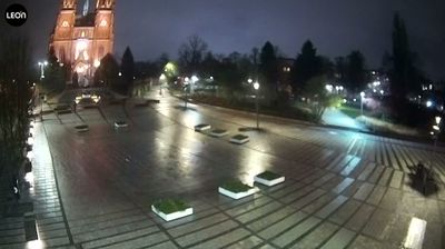
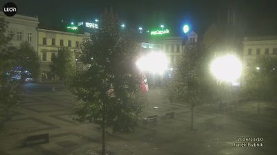
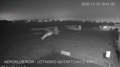


Gliwice occupies a lowland position on the Kłodnica River in western Upper Silesia, within Poland’s Silesian Voivodeship. Long shaped by coal, steel and engineering, it remains part of the dense urban belt around Katowice while retaining a compact historic centre around the Market Square and Town Hall. The 111-metre wooden Gliwice Radio Tower, built in 1935, is the city’s most distinctive landmark; the site became internationally known through the staged Gleiwitz incident on 31 August 1939, used by Nazi Germany as a pretext for invading Poland. The Palm House in Chopin Park adds a very different green stop near the centre. Move on to other webcams in the region to compare landscapes and settings around the Silesian Voivodeship.
3 webcams
Among Poland’s voivodeships, the Silesian Voivodeship stands out for its densely populated industrial heartland framed by the Kraków-Częstochowa Upland and the Beskids. Katowice anchors a large urban area whose coal, steel and manufacturing traditions helped shape modern Poland. To the north, Częstochowa is home to the Jasna Góra monastery, a major pilgrimage destination associated with the revered icon of the Black Madonna. The Vistula, Poland’s longest river, rises in the Silesian Beskids near the southern border, where the region shifts into forested mountain country. Explore nearby webcam locations that provide complementary perspectives on the Silesian Voivodeship.
82 webcams
Poland stretches from the Baltic Sea coast in the north to the Carpathian Mountains along its southern frontier, encompassing broad lowlands, lake districts and upland ranges. The Vistula, the country’s longest river, links Kraków and Warsaw before reaching the Baltic near Gdańsk, while the Masurian Lake District is defined by a dense network of lakes. Kraków’s historic centre, including Wawel Castle, recalls Poland’s former royal capital; Warsaw’s rebuilt Old Town speaks to the city’s recovery after the Second World War. The Białowieża Forest preserves one of Europe’s last primeval lowland forests and is home to European bison. Follow how Poland’s regions relate to one another by browsing webcams across the country.
716 webcams